
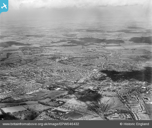
EPW046432 ENGLAND (1934). The town, Bedford, from the south-west, 1934
© Copyright OpenStreetMap contributors and licensed by the OpenStreetMap Foundation. 2026. Cartography is licensed as CC BY-SA.
Nearby Images (17)
EPW046432

EPW046441

EPW022385

EPW046442

EAW032052

EAW032055

EPW045528

EPW046433

EPW045526

EAW032058

EAW032059

EPW045529

EPW045525

EAW032061

EAW032063

EPW045530

EPW037463

Details
| Title | [EPW046432] The town, Bedford, from the south-west, 1934 |
| Reference | EPW046432 |
| Date | October-1934 |
| Link | |
| Place name | BEDFORD |
| Parish | KEMPSTON |
| District | |
| Country | ENGLAND |
| Easting / Northing | 504285, 248946 |
| Longitude / Latitude | -0.4763713519415, 52.128558847547 |
| National Grid Reference | TL043489 |
Pins
 |

melgibbs |
Sunday 24th of November 2013 10:54:51 AM |
|
melgibbs |
Saturday 15th of June 2013 06:24:15 PM | |
There is a war memorial and various soldier's graves in the cemetery. For more details, see www.roll-of-honour.com/Bedfordshire/BedfordCemetery.html. |
melgibbs |
Friday 27th of December 2013 10:32:12 AM |
|
melgibbs |
Saturday 15th of June 2013 06:23:29 PM | |
|
melgibbs |
Saturday 15th of June 2013 06:22:47 PM | |
|
melgibbs |
Saturday 15th of June 2013 06:22:18 PM | |
|
melgibbs |
Saturday 15th of June 2013 06:20:30 PM | |
|
melgibbs |
Saturday 15th of June 2013 06:19:42 PM | |
|
melgibbs |
Saturday 15th of June 2013 06:19:05 PM | |
|
melgibbs |
Saturday 15th of June 2013 06:18:06 PM | |
|
melgibbs |
Saturday 15th of June 2013 06:17:44 PM | |
|
melgibbs |
Saturday 15th of June 2013 06:16:43 PM | |
|
melgibbs |
Saturday 15th of June 2013 06:16:03 PM | |
|
melgibbs |
Saturday 15th of June 2013 06:15:28 PM | |
|
melgibbs |
Saturday 15th of June 2013 06:15:02 PM | |
|
melgibbs |
Saturday 15th of June 2013 06:14:07 PM | |
|
melgibbs |
Saturday 15th of June 2013 06:13:45 PM | |
|
melgibbs |
Saturday 15th of June 2013 06:13:04 PM | |
|
melgibbs |
Saturday 15th of June 2013 06:12:36 PM | |
|
melgibbs |
Saturday 15th of June 2013 06:11:56 PM | |
|
melgibbs |
Saturday 15th of June 2013 06:11:10 PM | |
|
melgibbs |
Friday 14th of June 2013 08:29:14 PM | |
|
melgibbs |
Friday 14th of June 2013 08:28:49 PM | |
|
melgibbs |
Friday 14th of June 2013 08:28:23 PM | |
|
melgibbs |
Tuesday 14th of May 2013 08:03:54 PM | |
|
melgibbs |
Tuesday 14th of May 2013 08:03:17 PM |
User Comment Contributions
See also image EPW046433. |
melgibbs |
Saturday 15th of June 2013 06:28:45 PM |