
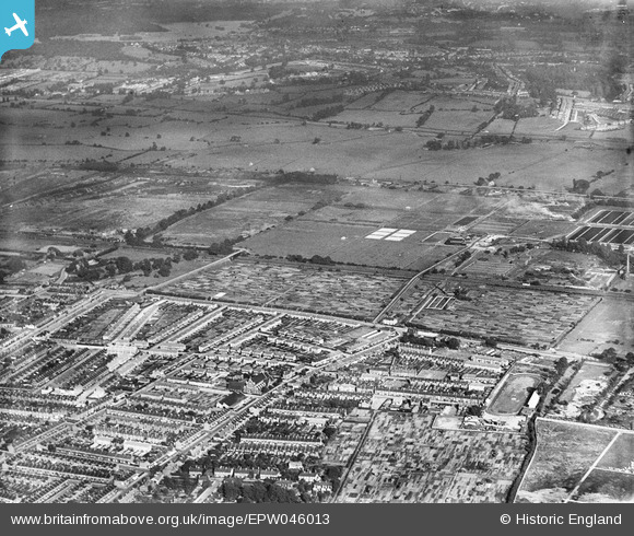
EPW046013 ENGLAND (1934). Marsh Side, Edmonton, 1934
© Copyright OpenStreetMap contributors and licensed by the OpenStreetMap Foundation. 2026. Cartography is licensed as CC BY-SA.
Nearby Images (2)
EPW046013

EPW046017

Details
| Title | [EPW046013] Marsh Side, Edmonton, 1934 |
| Reference | EPW046013 |
| Date | September-1934 |
| Link | |
| Place name | EDMONTON |
| Parish | |
| District | |
| Country | ENGLAND |
| Easting / Northing | 535608, 193656 |
| Longitude / Latitude | -0.040718534341048, 51.624890740903 |
| National Grid Reference | TQ356937 |
Pins
 |

Leslie B |
Wednesday 2nd of March 2016 02:45:25 PM |
|
eddymonton |
Saturday 1st of March 2014 06:51:34 PM | |
|
eddymonton |
Saturday 1st of March 2014 06:49:56 PM | |
|
eddymonton |
Saturday 1st of March 2014 06:47:20 PM | |
Montagu is spelt without an e on the end .Ilived there for 20 years |
Tony Mardle |
Saturday 26th of November 2016 06:54:36 PM |
|
eddymonton |
Saturday 1st of March 2014 06:46:36 PM | |
|
eddymonton |
Saturday 1st of March 2014 06:45:15 PM | |
|
eddymonton |
Saturday 1st of March 2014 06:43:25 PM | |
|
eddymonton |
Saturday 1st of March 2014 06:41:42 PM | |
|
eddymonton |
Saturday 1st of March 2014 06:39:53 PM | |
|
john ruscoe |
Saturday 2nd of November 2013 06:32:28 AM |