
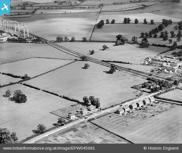
EPW045961 ENGLAND (1934). Fields between Thrupp End Farm and the railway station, Lidlington, 1934
© Copyright OpenStreetMap contributors and licensed by the OpenStreetMap Foundation. 2025. Cartography is licensed as CC BY-SA.
Nearby Images (7)
EPW045961

EPW045956

EPW045957

EPW045958

EPW045959

EPW045960

EPW045955

Details
| Title | [EPW045961] Fields between Thrupp End Farm and the railway station, Lidlington, 1934 |
| Reference | EPW045961 |
| Date | September-1934 |
| Link | |
| Place name | LIDLINGTON |
| Parish | LIDLINGTON |
| District | |
| Country | ENGLAND |
| Easting / Northing | 499084, 239284 |
| Longitude / Latitude | -0.55514039260702, 52.042666732834 |
| National Grid Reference | SP991393 |
Pins
 melgibbs |
Thursday 6th of February 2014 04:11:52 PM |