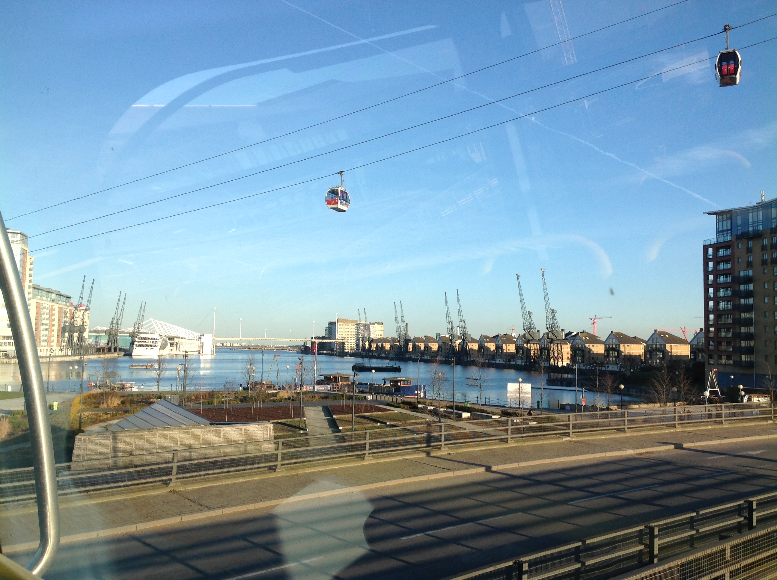
EPW045557 ENGLAND (1934). Residential area to the north of the Isle of Dogs and environs, Poplar, from the west, 1934

© Copyright OpenStreetMap contributors and licensed by the OpenStreetMap Foundation. 2024. Cartography is licensed as CC BY-SA.

Nearby Images (10)

EPW045557
  0° 0m
EAW000641
  18° 111m
EAW035312
  197° 136m
EAW035314
  160° 138m
EAW035310
  181° 167m
EAW000639
  242° 186m
EAW035311
  178° 187m
EAW035313
  139° 198m
EAW035321
  197° 239m
EAW000654
  86° 249m

Details

Title [EPW045557] Residential area to the north of the Isle of Dogs and environs, Poplar, from the west, 1934
Reference EPW045557
Date July-1934
Link
Place name POPLAR
Parish
District
Country ENGLAND
Easting / Northing 537205, 181337
Longitude / Latitude -0.022470703997997, 51.51379238076
National Grid Reference TQ372813

Pins

Site of Orchard Yard (or Orchard House Yard) the early iron shipbuilding yard of Ditchburn and Mare that developed into the mighty Thames Ironworks Shipbuilding Yard on the other side of Bow Creek.

yes
Saturday 29th of January 2022 10:14:43 AM

yes
Sunday 28th of November 2021 09:55:00 AM
Regents Canal Dock

yes
Sunday 28th of November 2021 09:53:58 AM

yes
Monday 11th of October 2021 10:15:58 PM
Blackwall Basin

yes
Monday 11th of October 2021 10:15:29 PM
Site of the Thames Ironworks Shipyard

yes
Monday 11th of October 2021 10:13:59 PM
214 Brunswick Road

Lixida
Friday 4th of June 2021 03:34:31 PM
Bromley library

Lixida
Friday 4th of June 2021 03:33:12 PM
Poplar Union Workhouse

Kentishman
Tuesday 9th of February 2021 10:44:48 AM
River Ambulance Service (RAS), North Wharf Receiving Station, Managers Road. One of the Metropolitan Asylums Board's (MAB) three places (the other two were at Rotherhithe and Fulham) in London to which smallpox victims would be brought during the epidemic at the turn of the 19th and 20th Centuries, for onward transport by ambulance ships ('Red Cross', 'White Cross', 'Geneva Cross', 'Albert Victor' and 'Maltese Cross') to Dartford. Three hospital ships were moored there from 1882, (Atlas [men's wards], Endymion [administration, kitchen and laundry] and Castalia [women's wards]) being replaced by the Long Reach Hospital on adjacent land in 1902. The hospital ships were taken out of service and scrapped in 1904. Per the 'Lost Hospitals of London' site ( https://ezitis.myzen.co.uk/northwharf.html ): 'The North Wharf Receiving Station opened in 1884, at the start of a smallpox epidemic. It served the central, north and east regions of London. MAB had built a new roadway from Cold Harbour to Bridge Road in order to facilitate easier access for the land ambulances. The road was named Managers Road, after the managers of MAB. The Receiving Station had an examination room and an isolation ward for patients too sick to be transferred by river ambulance to Long Reach. Other land works were postponed while priority was given to building of the pier, which opened in 1885, just as the epidemic subsided. As the number of smallpox cases declined, the service was reorganised in 1913. The North Wharf was used only for smallpox patients, while the South Wharf at Rotherhithe dealt with general fever cases. By 1921 the North Wharf had 9 beds. In 1930 the LCC took over administrative control from MAB. By this time the river service was rarely used, most patients being transferred by road. The service closed in May 1930 and, by 1933, the steamers had been sold. The pier was demolished in 1936.' See images EPW001410, EPW024256, EPW046833 and EPW015774 http://dartfordhospitalhistories.org.uk/long-reach/long-reach-introduction/ and for a photograph of the three original hospital ships - https://iiif.wellcomecollection.org/image/L0006809EB.jpg/full/full/0/default.jpg

Kentishman
Tuesday 9th of February 2021 10:37:18 AM
All Hallows Church

Tim C
Friday 4th of October 2019 12:58:18 PM
Limehouse Town Hall

Tim C
Friday 4th of October 2019 12:55:34 PM

Tim C
Friday 4th of October 2019 12:53:26 PM
Poplar Town Hall, 1870-1938

Tim C
Friday 4th of October 2019 12:50:49 PM
St Matthias Church

Tim C
Friday 4th of October 2019 12:49:56 PM

Tim C
Friday 4th of October 2019 12:48:56 PM
George Green School

Tim C
Friday 4th of October 2019 12:48:18 PM
Langdon Park School

Tim C
Friday 4th of October 2019 12:47:23 PM
St Saviour's Church

Tim C
Friday 4th of October 2019 12:46:36 PM
St Gabriel Church

Tim C
Friday 4th of October 2019 12:45:41 PM
Spratt's Dog Biscuit Factory

Tim C
Friday 4th of October 2019 12:45:16 PM
Glaucus Street Power Station cooling towers (built c. mid-1920s)

ThommoSW15
Friday 22nd of June 2018 10:34:11 AM
Poplar Borough Council Depot, Weston Street (Watts Grove after 1937). Former "Sanitas" factory (built c.1914).

ThommoSW15
Friday 22nd of June 2018 10:32:50 AM
Sumner House (built c.1929)

ThommoSW15
Friday 22nd of June 2018 10:30:48 AM
Knapp Road School, (now demolished).

Hermann the German
Monday 28th of August 2017 05:37:00 PM
Devons School. (Since renamed "The Clara Grant Primary School" in April 1993).

Hermann the German
Monday 28th of August 2017 05:35:45 PM
Commercial Road Lock, Regent's Canal, 30/09/2014

Class31
Thursday 21st of April 2016 12:20:54 PM
Charles Street

Bob Curtis
Thursday 21st of April 2016 11:43:53 AM
Goodliffe Street

Bob Curtis
Thursday 21st of April 2016 11:42:55 AM
School. This school was not built in the time William and Mary Curtis lived in the area. A school appears on the 1893 Ordnance Survey map.

Bob Curtis
Thursday 21st of April 2016 11:41:29 AM

Bob Curtis
Thursday 21st of April 2016 11:33:24 AM
Southill Street

Bob Curtis
Thursday 21st of April 2016 11:30:40 AM
3, Goodliffe Street, Poplar. The home of William and Mary Curtis and their children Jane, Johnny and Henry in 1870. Their daughter Eliza was born at this address 08-05-1870. Five months later on 08-10-1870 the father William Curtis died of pneumonia at this address. He was working at a glass factory and fainted there one day. He was moved to a draughty corridoor where he caught a chill and died some days later. Mary made the decision to take the children back to Bedworth, which she did. On their return her eldest son Benjamin (now 9yrs) was still living with his Grandparents. He never returned to live with his mother. On 15-11-1873 the daughter Eliza died of measles. Jane, Johnny and Henry never left Bedworth. Benjamin however led a troubled life, moving to Leamington, Nuneaton and finally Coventry in 1900. He died 03-03-1917. His mother Mary died in Bedworth 26-09-1902.

Bob Curtis
Thursday 21st of April 2016 11:24:47 AM
48, Kerbey Street, Poplar. The home of William and Mary Curtis and their children Jane and Johnny in 1868. Their son Henry was born at this address 13-04-1868. The family then moved to nearby 3, Goodliffe Street, Poplar.

Bob Curtis
Tuesday 19th of April 2016 12:56:28 PM
5, Richard Street, Poplar. The home of William and Mary Curtis and their daughter Jane in 1866. Their son Johnny was born at this address 14-07-1866. The family then moved to nearby 48, Kerbey Street.

Bob Curtis
Tuesday 19th of April 2016 12:53:16 PM
No.27, Wellington Road, Bromley. The home of William and Mary Curtis in 1865. Their daughter Jane was born at this address 16-02-1865. The family then moved to nearby 5, Richard Street, Poplar.

Bob Curtis
Tuesday 19th of April 2016 12:49:06 PM
28,Charles Street, Poplar. The home; from about 1863, of William Curtis (born in Warwick 1836),his wife Mary Ann (nee Edmands born in Bedworth 1836) and their son Thomas (born in Bedworth 27-04-1862).The family had moved from Bedworth, presumably because William was seeking work, leaving behind their eldest son Benjamin (born in Bedworth 19-02-1861) with Marys parents. Benjamin was my Great Grandfather. The son Thomas died at this address 10-07-1864. William and his now pregnant wife Mary then moved to nearby 27, Wellington Street, Bromley, just a few streets away.

Bob Curtis
Tuesday 19th of April 2016 12:43:59 PM
West India Docks

Bob Curtis
Tuesday 19th of April 2016 12:32:54 PM

Bob Curtis
Saturday 16th of April 2016 12:56:30 PM

Bob Curtis
Saturday 16th of April 2016 12:50:46 PM

Bob Curtis
Saturday 16th of April 2016 12:49:48 PM

Bob Curtis
Saturday 16th of April 2016 12:22:36 PM
Richard Street

Bob Curtis
Saturday 16th of April 2016 12:15:53 PM
East India Road

Bob Curtis
Saturday 16th of April 2016 12:11:49 PM

Bob Curtis
Saturday 16th of April 2016 12:05:24 PM
Bow Creek from East India Dock Road, 17/02/2015. Looking north west.

Class31
Wednesday 18th of February 2015 08:40:15 AM
Stock Street. In a map of 1885 this was Stock Street, but later became part of Burcham Street.

jandpatupton
Monday 6th of October 2014 03:56:28 PM
Desart Street. Disappeared under the Blackwall Tunnel approach road.

jandpatupton
Monday 6th of October 2014 03:54:44 PM
Burcham Street

jandpatupton
Monday 6th of October 2014 03:52:34 PM
St Stephens Church

Mills
Sunday 1st of June 2014 08:26:39 PM

Mills
Sunday 1st of June 2014 08:25:58 PM
East India Bdgs.

Mills
Sunday 1st of June 2014 08:24:44 PM
Silvertown Way.

Grollo
Wednesday 19th of March 2014 02:50:06 PM
Wesleyan Chapel (later Poplar Methodist Mission), East India Dock Road and Woodstock Terrace (demolished) More information can be found at the link below http://www.british-history.ac.uk/report.aspx?compid=46481#s12

Grollo
Wednesday 19th of March 2014 02:43:44 PM
Abbott Road. More information of this area can be found at the link below. http://www.british-history.ac.uk/report.aspx?compid=46480&strquery=Abbott

Grollo
Friday 7th of March 2014 09:01:06 AM
Dunkeld Street. Destroyed by wartime bombing.

Grollo
Friday 7th of March 2014 08:57:52 AM
Cleared site of demolished cottages on Maize Row (May's Row)on Limehouse Cut Towpath

moses72
Tuesday 4th of February 2014 04:30:56 PM

hillman34
Friday 28th of June 2013 10:04:16 PM

hillman34
Friday 28th of June 2013 09:30:03 PM
West India Dock Road.

hillman34
Friday 28th of June 2013 09:19:16 PM
Royal Albert Dock

Ian
Tuesday 28th of May 2013 01:17:12 PM
East London Cemetery

Ian
Tuesday 28th of May 2013 01:14:59 PM
Royal Victoria Dock

Ian
Tuesday 28th of May 2013 01:11:52 PM
East India Dock Basin

Ian
Tuesday 28th of May 2013 01:11:04 PM
The pin has been placed in the Import Dock the largest of the three bodies of water forming East India Dock group. The next largest and almost square dock is the Export Dock. The basin is the irregular shaped body of water with locks to the river and the other two docks.

Grollo
Thursday 27th of October 2016 09:17:18 AM
Saint Mary & St. Joseph Church (Poplar) - Roman Catholic

Ian
Tuesday 28th of May 2013 01:08:50 PM
Commercial Road (A13)

Ian
Tuesday 28th of May 2013 01:00:47 PM
St Anne's, Limehouse

Ian
Tuesday 28th of May 2013 12:59:45 PM
Limehouse Basin

Ian
Tuesday 28th of May 2013 12:58:59 PM
(site of) Langdon Park

Ian
Tuesday 28th of May 2013 12:52:37 PM

Ian
Tuesday 28th of May 2013 12:51:53 PM
St Leonard's Road

Ian
Tuesday 28th of May 2013 12:51:14 PM

Ian
Tuesday 28th of May 2013 12:49:19 PM
St Michael's Church

Ian
Tuesday 28th of May 2013 12:47:52 PM

Ian
Tuesday 28th of May 2013 12:39:38 PM
All Saint's Church, Poplar

Ian
Tuesday 28th of May 2013 12:37:39 PM

User Comment Contributions

Silvertown Way, 17/02/2015

Class31
Wednesday 18th of February 2015 10:05:22 AM
Royal Victoria Dock from Silvertown Way, 17/02/2015 Taken from bus 474

Class31
Wednesday 18th of February 2015 10:04:05 AM
All Saints Church, Newby Place, 17/02/2015

Class31
Wednesday 18th of February 2015 08:42:03 AM