
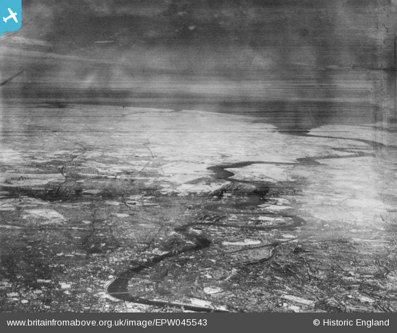
EPW045543 ENGLAND (1934). An infrared photograph showing the River Thames from Westminster Bridge to the sea, London, from the west, 1934
© Copyright OpenStreetMap contributors and licensed by the OpenStreetMap Foundation. 2026. Cartography is licensed as CC BY-SA.
Nearby Images (5)
EPW045543

EPW044129

EPW059930

EPW059929

EPW044127

Details
| Title | [EPW045543] An infrared photograph showing the River Thames from Westminster Bridge to the sea, London, from the west, 1934 |
| Reference | EPW045543 |
| Date | July-1934 |
| Link | |
| Place name | LONDON |
| Parish | |
| District | |
| Country | ENGLAND |
| Easting / Northing | 537211, 180364 |
| Longitude / Latitude | -0.02276298382454, 51.505046443753 |
| National Grid Reference | TQ372804 |
Pins
Be the first to add a comment to this image!