
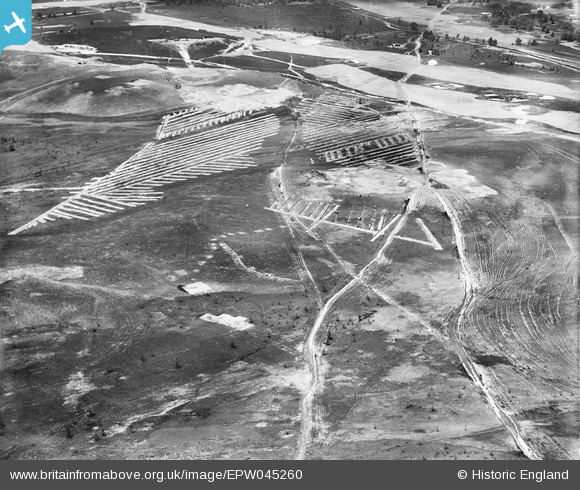
EPW045260 ENGLAND (1934). Land Drainage on Sunningdale Golf Course, Brick Hill, 1934
© Copyright OpenStreetMap contributors and licensed by the OpenStreetMap Foundation. 2026. Cartography is licensed as CC BY-SA.
Nearby Images (9)
EPW045260

EPW045254

EPW045257

EPW045256

EPW045259

EPW045252

EPW045258

EPW045253

EPW045255

Details
| Title | [EPW045260] Land Drainage on Sunningdale Golf Course, Brick Hill, 1934 |
| Reference | EPW045260 |
| Date | July-1934 |
| Link | |
| Place name | BRICK HILL |
| Parish | CHOBHAM |
| District | |
| Country | ENGLAND |
| Easting / Northing | 495691, 165019 |
| Longitude / Latitude | -0.62499732092796, 51.375653562736 |
| National Grid Reference | SU957650 |
Pins

Tony D |
Monday 6th of May 2013 12:52:24 AM |