
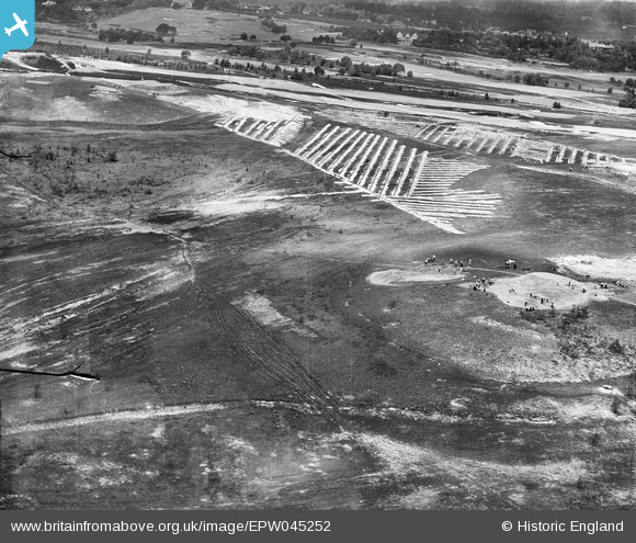
EPW045252 ENGLAND (1934). Land Drainage on Sunningdale Golf Course, Brick Hill, 1934
© Copyright OpenStreetMap contributors and licensed by the OpenStreetMap Foundation. 2026. Cartography is licensed as CC BY-SA.
Nearby Images (8)
EPW045252

EPW045254

EPW045259

EPW045257

EPW045256

EPW045260

EPW045258

EPW045255

Details
| Title | [EPW045252] Land Drainage on Sunningdale Golf Course, Brick Hill, 1934 |
| Reference | EPW045252 |
| Date | July-1934 |
| Link | |
| Place name | BRICK HILL |
| Parish | CHOBHAM |
| District | |
| Country | ENGLAND |
| Easting / Northing | 495550, 164965 |
| Longitude / Latitude | -0.62703727672584, 51.375191849744 |
| National Grid Reference | SU956650 |
Pins
Be the first to add a comment to this image!