
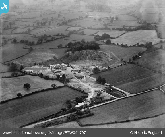
EPW044797 ENGLAND (1934). Wickwar Quarry and surrounding countryside, Charfield, from the east, 1934
© Copyright OpenStreetMap contributors and licensed by the OpenStreetMap Foundation. 2026. Cartography is licensed as CC BY-SA.
Nearby Images (4)
EPW044797

EPW044788

EPW044796

EPW044795

Details
| Title | [EPW044797] Wickwar Quarry and surrounding countryside, Charfield, from the east, 1934 |
| Reference | EPW044797 |
| Date | June-1934 |
| Link | |
| Place name | CHARFIELD |
| Parish | CHARFIELD |
| District | |
| Country | ENGLAND |
| Easting / Northing | 371648, 189767 |
| Longitude / Latitude | -2.4094418022305, 51.605553905097 |
| National Grid Reference | ST716898 |
Pins

Michael Walters |
Monday 29th of August 2016 09:24:09 AM | |
|
Michael Walters |
Monday 29th of August 2016 09:22:18 AM |