
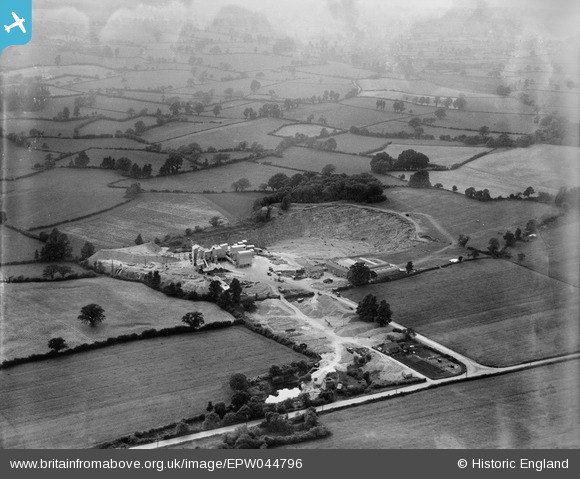
EPW044796 ENGLAND (1934). Wickwar Quarry and surrounding countryside, Cromhall, from the south-east, 1934
© Copyright OpenStreetMap contributors and licensed by the OpenStreetMap Foundation. 2026. Cartography is licensed as CC BY-SA.
Nearby Images (7)
EPW044796

EPW044797

EPW044788

EPW044795

EPW044794

EPW044789

EPW044791

Details
| Title | [EPW044796] Wickwar Quarry and surrounding countryside, Cromhall, from the south-east, 1934 |
| Reference | EPW044796 |
| Date | June-1934 |
| Link | |
| Place name | CROMHALL |
| Parish | CROMHALL |
| District | |
| Country | ENGLAND |
| Easting / Northing | 371580, 189786 |
| Longitude / Latitude | -2.4104253289395, 51.605721326417 |
| National Grid Reference | ST716898 |
Pins
Be the first to add a comment to this image!