
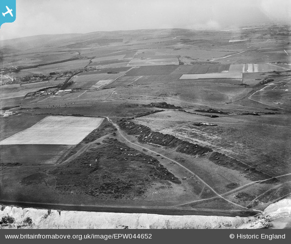
EPW044652 ENGLAND (1934). Hope Bottom and surrounding countryside, South Hill, from the south-west, 1934
© Copyright OpenStreetMap contributors and licensed by the OpenStreetMap Foundation. 2025. Cartography is licensed as CC BY-SA.
Nearby Images (2)
EPW044652

EPW044662

Details
| Title | [EPW044652] Hope Bottom and surrounding countryside, South Hill, from the south-west, 1934 |
| Reference | EPW044652 |
| Date | June-1934 |
| Link | |
| Place name | SOUTH HILL |
| Parish | SEAFORD |
| District | |
| Country | ENGLAND |
| Easting / Northing | 550816, 97583 |
| Longitude / Latitude | 0.13849104945991, 50.757650682412 |
| National Grid Reference | TV508976 |
Pins
 KiwiMike |
Sunday 16th of January 2022 08:55:35 PM |