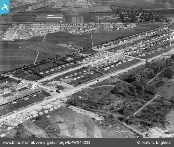
EPW044333 ENGLAND (1934). Waverley Avenue, Lyndhurst Avenue and environs, Twickenham, 1934
    © Copyright OpenStreetMap contributors and licensed by the OpenStreetMap Foundation. 2025. Cartography is licensed as CC BY-SA.
  
Nearby Images (5)
Details
| Title | [EPW044333] Waverley Avenue, Lyndhurst Avenue and environs, Twickenham, 1934 | 
| Reference | EPW044333 | 
| Date | May-1934 | 
| Link | |
| Place name | TWICKENHAM | 
| Parish | |
| District | |
| Country | ENGLAND | 
| Easting / Northing | 513122, 173183 | 
| Longitude / Latitude | -0.37202308984644, 51.445833867301 | 
| National Grid Reference | TQ131732 | 
Pins
|  Powder Mill Lane | Class31 | Sunday 15th of December 2013 05:41:39 PM | 
 
             
  ![[EPW044333] Waverley Avenue, Lyndhurst Avenue and environs, Twickenham, 1934](http://britainfromabove.org.uk/sites/all/libraries/aerofilms-images/public/100x100/EPW/044/EPW044333.jpg) 
  
                                          ![[EPW044336] Waverley Avenue, Lyndhurst Avenue and environs, Twickenham, 1934](http://britainfromabove.org.uk/sites/all/libraries/aerofilms-images/public/100x100/EPW/044/EPW044336.jpg) 
 ![[EPW044747] Powder Mill Lane and housing under construction along Waverley Avenue and Lyndhurst Avenue, Twickenham, 1934](http://britainfromabove.org.uk/sites/all/libraries/aerofilms-images/public/100x100/EPW/044/EPW044747.jpg) 
 ![[EPW044743] Powder Mill Lane and housing under construction along Waverley Avenue and Lyndhurst Avenue, Twickenham, 1934](http://britainfromabove.org.uk/sites/all/libraries/aerofilms-images/public/100x100/EPW/044/EPW044743.jpg) 
 ![[EPW044748] Powder Mill Lane and housing under construction along Waverley Avenue and Lyndhurst Avenue, Twickenham, 1934](http://britainfromabove.org.uk/sites/all/libraries/aerofilms-images/public/100x100/EPW/044/EPW044748.jpg)