
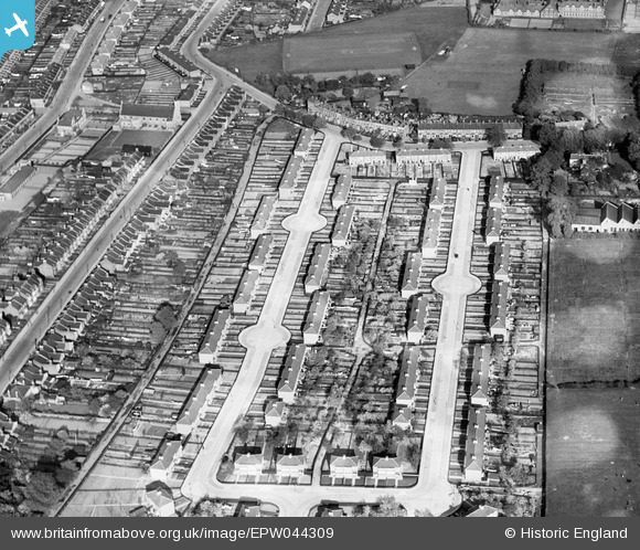
EPW044309 ENGLAND (1934). Clydesdale and Sedcote Road, Ponders End, 1934
© Copyright OpenStreetMap contributors and licensed by the OpenStreetMap Foundation. 2026. Cartography is licensed as CC BY-SA.
Nearby Images (10)
EPW044309

EAW005480

EAW005484

EAW005481

EAW005482

EPW044306

EAW005490

EAW005483

EPW044308

EPW044307

Details
| Title | [EPW044309] Clydesdale and Sedcote Road, Ponders End, 1934 |
| Reference | EPW044309 |
| Date | May-1934 |
| Link | |
| Place name | PONDERS END |
| Parish | |
| District | |
| Country | ENGLAND |
| Easting / Northing | 535631, 196003 |
| Longitude / Latitude | -0.039476881657328, 51.645977762266 |
| National Grid Reference | TQ356960 |
Pins

Gary |
Tuesday 5th of October 2021 05:06:19 PM | |
|
Ray Flack |
Sunday 10th of November 2013 04:14:26 PM | |
|
Ray Flack |
Sunday 10th of November 2013 04:13:21 PM | |
|
Ray Flack |
Sunday 10th of November 2013 04:12:43 PM | |
|
Ray Flack |
Sunday 10th of November 2013 04:12:09 PM | |
|
Ray Flack |
Sunday 10th of November 2013 04:11:41 PM | |
|
Ray Flack |
Sunday 10th of November 2013 04:10:53 PM | |
|
Ray Flack |
Sunday 10th of November 2013 04:10:13 PM |