
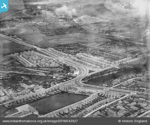
EPW043927 ENGLAND (1934). Housing at Southwold Drive, Marchwood Close and Radford Bridge, Radford, 1934
© Copyright OpenStreetMap contributors and licensed by the OpenStreetMap Foundation. 2026. Cartography is licensed as CC BY-SA.
Nearby Images (16)
EPW043927

EPW043615

EPW043928

EPW043926

EPW043614

EPW043930

EPW043617

EPW043616

EPW043612

EPW046105

EPW043929

EPW043613

EPW046103

EPW046106

EPW046104

EPW046101

Details
| Title | [EPW043927] Housing at Southwold Drive, Marchwood Close and Radford Bridge, Radford, 1934 |
| Reference | EPW043927 |
| Date | April-1934 |
| Link | |
| Place name | RADFORD |
| Parish | |
| District | |
| Country | ENGLAND |
| Easting / Northing | 454469, 340249 |
| Longitude / Latitude | -1.189095494521, 52.956532087794 |
| National Grid Reference | SK545402 |
Pins

Michael Thomas |
Monday 24th of February 2014 04:10:44 PM |