
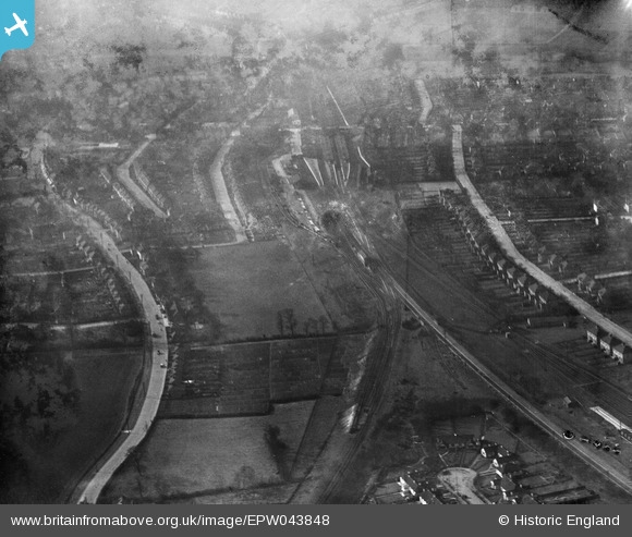
EPW043848 ENGLAND (1934). Upminster Railway Station and environs, Upminster, 1934
© Copyright OpenStreetMap contributors and licensed by the OpenStreetMap Foundation. 2026. Cartography is licensed as CC BY-SA.
Nearby Images (6)
EPW043848

EPW043919

EPW043925

EPW043847

EPW043852

EPW043850

Details
| Title | [EPW043848] Upminster Railway Station and environs, Upminster, 1934 |
| Reference | EPW043848 |
| Date | March-1934 |
| Link | |
| Place name | UPMINSTER |
| Parish | |
| District | |
| Country | ENGLAND |
| Easting / Northing | 556535, 186839 |
| Longitude / Latitude | 0.25836003204119, 51.55820507987 |
| National Grid Reference | TQ565868 |
Pins
Be the first to add a comment to this image!