
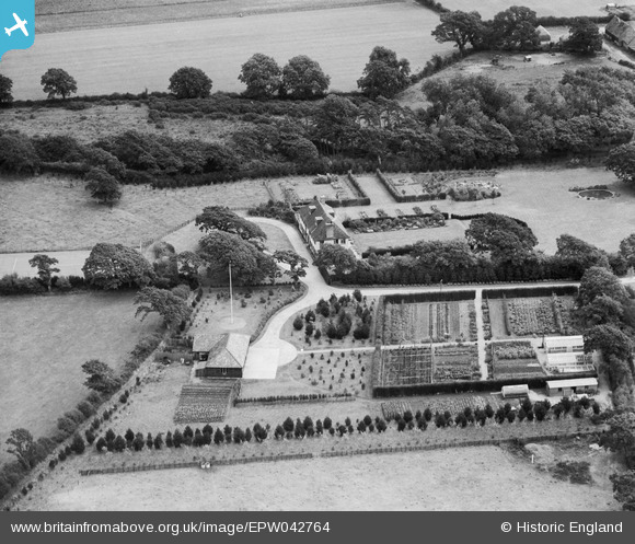
EPW042764 ENGLAND (1933). Downton Fields, Leagreen, 1933
© Copyright OpenStreetMap contributors and licensed by the OpenStreetMap Foundation. 2026. Cartography is licensed as CC BY-SA.
Nearby Images (11)
EPW042764

EPW042765

EPW042767

EPW042768

EPW042769

EPW042766

EPW042761

EPW042763

EPW042759

EPW042762

EPW042760

Details
| Title | [EPW042764] Downton Fields, Leagreen, 1933 |
| Reference | EPW042764 |
| Date | August-1933 |
| Link | |
| Place name | LEAGREEN |
| Parish | HORDLE |
| District | |
| Country | ENGLAND |
| Easting / Northing | 427418, 93907 |
| Longitude / Latitude | -1.6113613896375, 50.743550642968 |
| National Grid Reference | SZ274939 |
Pins
Be the first to add a comment to this image!