
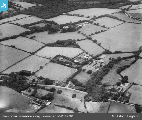
EPW042761 ENGLAND (1933). Downton Fields, Leagreen Farm and Downton Manor Farm, Leagreen, 1933
© Copyright OpenStreetMap contributors and licensed by the OpenStreetMap Foundation. 2026. Cartography is licensed as CC BY-SA.
Nearby Images (11)
EPW042761

EPW042766

EPW042763

EPW042765

EPW042762

EPW042764

EPW042759

EPW042769

EPW042767

EPW042768

EPW042760

Details
| Title | [EPW042761] Downton Fields, Leagreen Farm and Downton Manor Farm, Leagreen, 1933 |
| Reference | EPW042761 |
| Date | August-1933 |
| Link | |
| Place name | LEAGREEN |
| Parish | HORDLE |
| District | |
| Country | ENGLAND |
| Easting / Northing | 427324, 93874 |
| Longitude / Latitude | -1.6126962158631, 50.743258291176 |
| National Grid Reference | SZ273939 |
Pins

Farm Buildings |
Wednesday 25th of September 2013 02:17:50 PM | |
|
Farm Buildings |
Wednesday 25th of September 2013 02:17:06 PM | |
|
Farm Buildings |
Wednesday 25th of September 2013 02:16:44 PM | |
|
Farm Buildings |
Wednesday 25th of September 2013 02:16:24 PM |
User Comment Contributions

farm buildings |
Farm Buildings |
Wednesday 25th of September 2013 02:18:20 PM |