
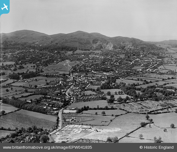
EPW041835 ENGLAND (1933). The town, Malvern Link, from the north-east, 1933
© Copyright OpenStreetMap contributors and licensed by the OpenStreetMap Foundation. 2026. Cartography is licensed as CC BY-SA.
Nearby Images (2)
EPW041835

EPW033928

Details
| Title | [EPW041835] The town, Malvern Link, from the north-east, 1933 |
| Reference | EPW041835 |
| Date | June-1933 |
| Link | |
| Place name | MALVER LINK |
| Parish | MALVERN |
| District | |
| Country | ENGLAND |
| Easting / Northing | 379068, 248339 |
| Longitude / Latitude | -2.3058403152906, 52.13254723988 |
| National Grid Reference | SO791483 |
Pins
Be the first to add a comment to this image!