
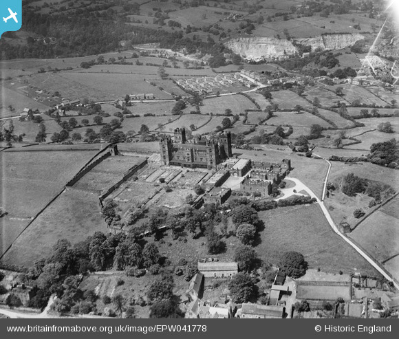
EPW041778 ENGLAND (1933). Riber Castle, Riber, 1933
© Copyright OpenStreetMap contributors and licensed by the OpenStreetMap Foundation. 2026. Cartography is licensed as CC BY-SA.
Nearby Images (3)
EPW041778

EPW038025

EPW038026

Details
| Title | [EPW041778] Riber Castle, Riber, 1933 |
| Reference | EPW041778 |
| Date | June-1933 |
| Link | |
| Place name | RIBER |
| Parish | MATLOCK TOWN |
| District | |
| Country | ENGLAND |
| Easting / Northing | 430684, 359056 |
| Longitude / Latitude | -1.5413855456708, 53.127492685529 |
| National Grid Reference | SK307591 |
Pins
Be the first to add a comment to this image!