
EPW041646 ENGLAND (1933). Lincoln Cathedral, the Westgate Water Tower and West Common, Lincoln, from the east, 1933

© Copyright OpenStreetMap contributors and licensed by the OpenStreetMap Foundation. 2026. Cartography is licensed as CC BY-SA.
Nearby Images (23)
EPW041646

EAW005044

EAW003312

EAW023932

EPW041643

EAW003313

EAW003648

EPW041638

EPW006627

EAW005040

EPW041645

EAW002782

EAW003315

EAW023934

EAW015728

EAW003316

EAW002781

EAW015702

EAW023933

EAW015701

EAW007366

EPW041639

EAW015703

Details
| Title | [EPW041646] Lincoln Cathedral, the Westgate Water Tower and West Common, Lincoln, from the east, 1933 |
| Reference | EPW041646 |
| Date | June-1933 |
| Link | |
| Place name | LINCOLN |
| Parish | |
| District | |
| Country | ENGLAND |
| Easting / Northing | 497889, 371961 |
| Longitude / Latitude | -0.53319828237086, 53.235366262032 |
| National Grid Reference | SK979720 |
Pins

John Herridge |
Tuesday 18th of February 2020 03:35:29 PM | |
|
Ian |
Wednesday 12th of June 2013 11:40:23 AM | |
|
Ian |
Wednesday 12th of June 2013 11:11:51 AM |


User Comment Contributions
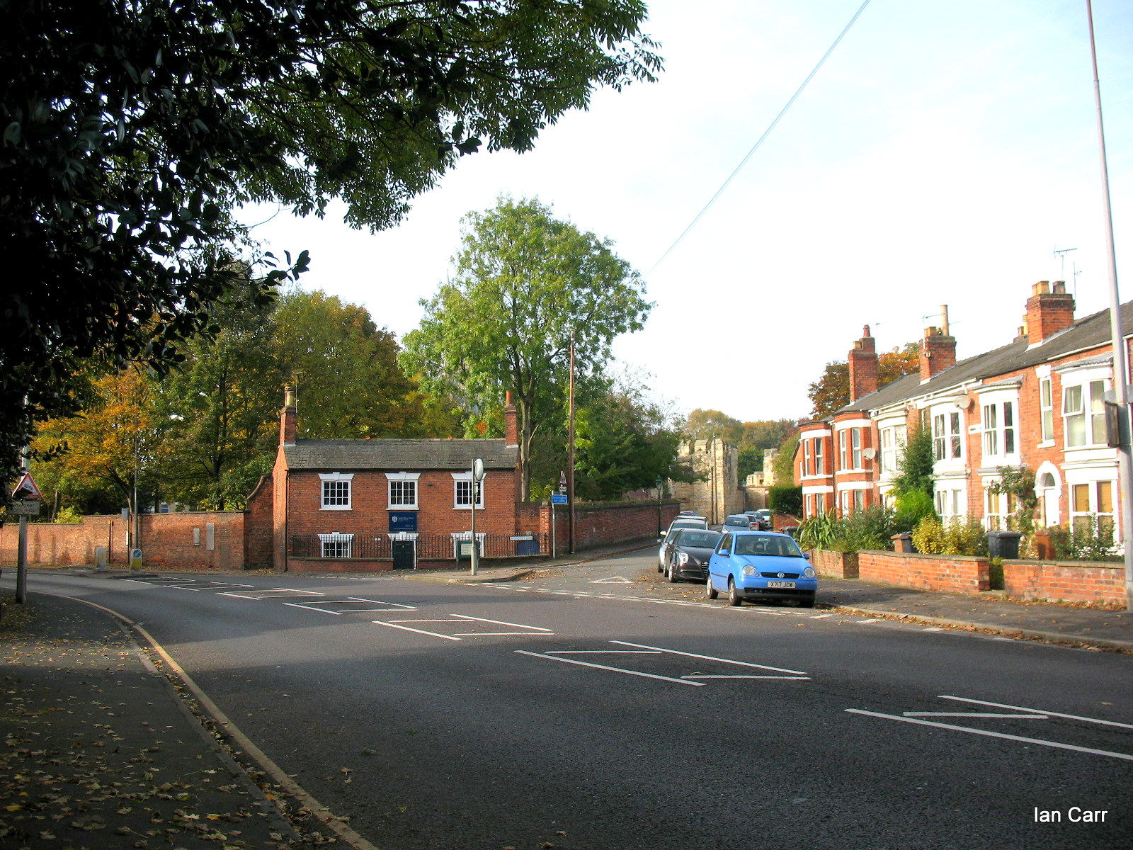
Wragby Road & Winnowsty Lane |
Ian |
Thursday 3rd of November 2016 03:13:05 PM |