
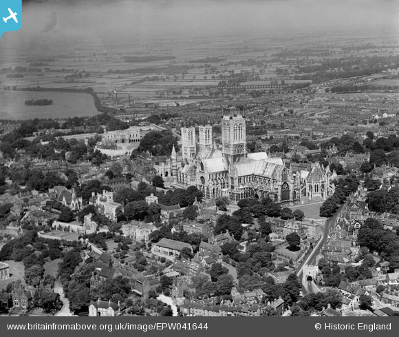
EPW041644 ENGLAND (1933). Lincoln Cathedral and the city, Lincoln, 1933
© Copyright OpenStreetMap contributors and licensed by the OpenStreetMap Foundation. 2026. Cartography is licensed as CC BY-SA.
Nearby Images (23)
EPW041644

EAW023935

EAW002782

EPW041638

EAW023934

EPW041643

EPW006627

EAW003648

EAW003312

EAW005040

EPW041645

EAW023932

EAW015702

EAW015728

EAW003315

EAW003316

EAW007366

EAW002781

EAW023933

EAW003313

EAW005044

EPW041639

EAW015703

Details
| Title | [EPW041644] Lincoln Cathedral and the city, Lincoln, 1933 |
| Reference | EPW041644 |
| Date | June-1933 |
| Link | |
| Place name | LINCOLN |
| Parish | |
| District | |
| Country | ENGLAND |
| Easting / Northing | 497897, 371690 |
| Longitude / Latitude | -0.5331617202106, 53.232929333367 |
| National Grid Reference | SK979717 |


