
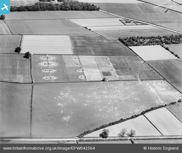
EPW041564 ENGLAND (1933). Agricultural land west of the village, Sutton-on-Trent, 1933
© Copyright OpenStreetMap contributors and licensed by the OpenStreetMap Foundation. 2026. Cartography is licensed as CC BY-SA.
Nearby Images (5)
EPW041564

EPW041563

EPW041565

EPW041557

EPW041555

Details
| Title | [EPW041564] Agricultural land west of the village, Sutton-on-Trent, 1933 |
| Reference | EPW041564 |
| Date | June-1933 |
| Link | |
| Place name | SUTTON-ON-TRENT |
| Parish | SUTTON-ON-TRENT |
| District | |
| Country | ENGLAND |
| Easting / Northing | 478436, 366183 |
| Longitude / Latitude | -0.826033765696, 53.186663624838 |
| National Grid Reference | SK784662 |
Pins
Be the first to add a comment to this image!