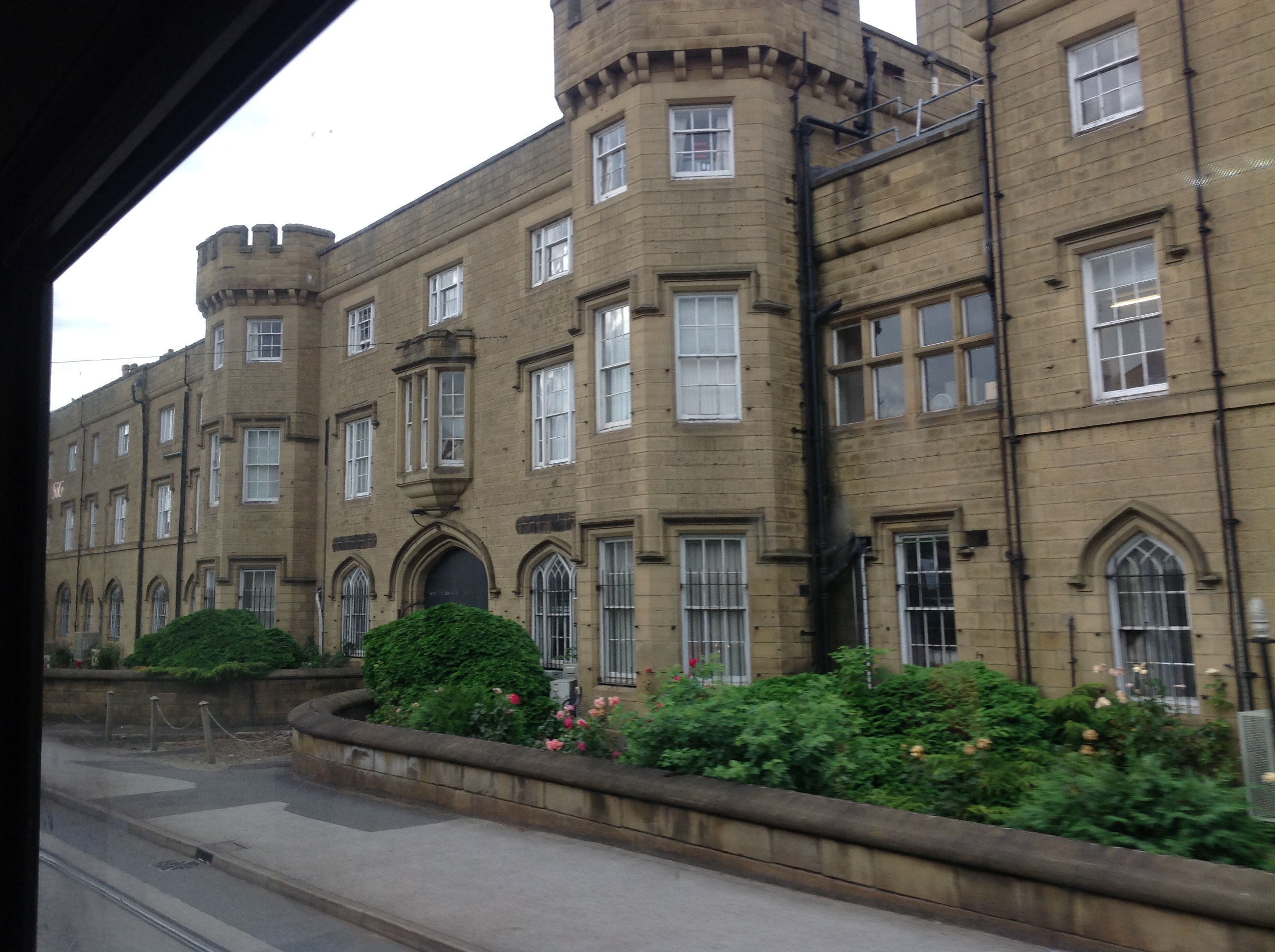
EPW041454 ENGLAND (1933). The Burdall's Buildings (formerly Hillsborough Barracks), Walkley, 1933

© Copyright OpenStreetMap contributors and licensed by the OpenStreetMap Foundation. 2026. Cartography is licensed as CC BY-SA.
Nearby Images (7)
EPW041454
, Walkley, 1933")
EPW041450
 and environs, Walkley, 1933")
EPW041452
, Walkley, 1933")
EPW041451
 and environs, Walkley, 1933")
EPW041449
 and environs, Walkley, 1933")
EPW041453
 and environs, Walkley, 1933")
EPW041626

Details
| Title | [EPW041454] The Burdall's Buildings (formerly Hillsborough Barracks), Walkley, 1933 |
| Reference | EPW041454 |
| Date | June-1933 |
| Link | |
| Place name | WALKLEY |
| Parish | |
| District | |
| Country | ENGLAND |
| Easting / Northing | 433611, 389566 |
| Longitude / Latitude | -1.4944145514922, 53.401584863628 |
| National Grid Reference | SK336896 |
Pins
Be the first to add a comment to this image!