
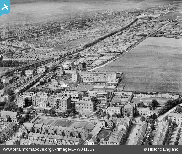
EPW041359 ENGLAND (1933). The Royal Sussex County Hospital, Brighton, 1933
© Copyright OpenStreetMap contributors and licensed by the OpenStreetMap Foundation. 2026. Cartography is licensed as CC BY-SA.
Nearby Images (7)
EPW041359

EPW041358

EPW041355

EPW041356

EPW041357

EPW041354

EPW041360

Details
| Title | [EPW041359] The Royal Sussex County Hospital, Brighton, 1933 |
| Reference | EPW041359 |
| Date | May-1933 |
| Link | |
| Place name | BRIGHTON |
| Parish | |
| District | |
| Country | ENGLAND |
| Easting / Northing | 532711, 103986 |
| Longitude / Latitude | -0.11575719724679, 50.819629287848 |
| National Grid Reference | TQ327040 |
Pins

Alan McFaden |
Monday 29th of July 2013 05:30:53 PM |
