
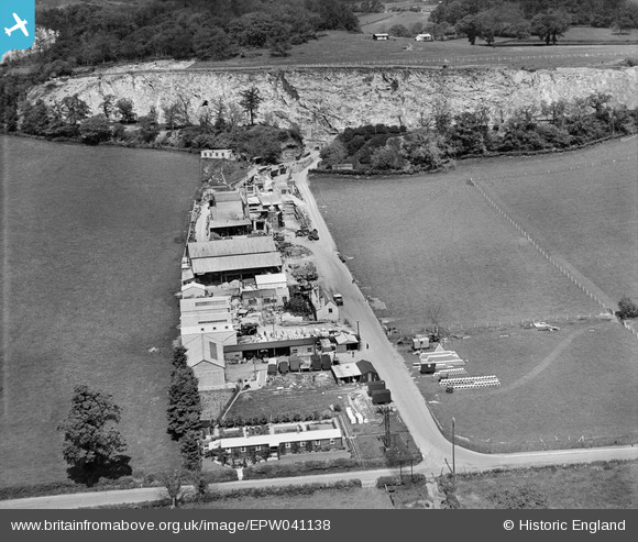
EPW041138 ENGLAND (1933). Underwood Quarry, Wookey Hole, 1933
© Copyright OpenStreetMap contributors and licensed by the OpenStreetMap Foundation. 2026. Cartography is licensed as CC BY-SA.
Nearby Images (3)
EPW041138

EPW041139

EPR000101

Details
| Title | [EPW041138] Underwood Quarry, Wookey Hole, 1933 |
| Reference | EPW041138 |
| Date | May-1933 |
| Link | |
| Place name | WOOKEY HOLE |
| Parish | ST. CUTHBERT OUT |
| District | |
| Country | ENGLAND |
| Easting / Northing | 353807, 146689 |
| Longitude / Latitude | -2.661461728011, 51.217013609589 |
| National Grid Reference | ST538467 |
