
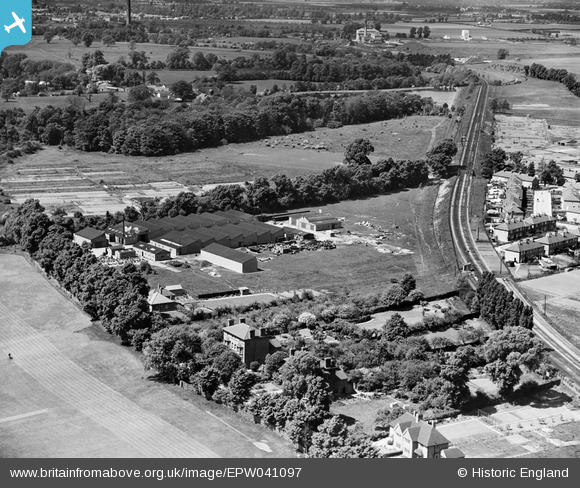
EPW041097 ENGLAND (1933). Hall and Hall Oldfield Works (Hydraulic Packing), Hampton, 1933
© Copyright OpenStreetMap contributors and licensed by the OpenStreetMap Foundation. 2026. Cartography is licensed as CC BY-SA.
Nearby Images (24)
EPW041097
, Hampton, 1933")
EPW037783

EPW022860

EPW045639

EPW053645

EPW041096
 and Metropolitan Water Board Water Works, Hampton, 1933")
EPW037782

EPW053648

EPW041098
, Hampton, 1933")
EPW041099
 and Metropolitan Water Board Water Works, Hampton, 1933")
EPW053643

EPW053646

EPW045249

EPW045251

EPW045247

EPW045248

EPW041095
 and Metropolitan Water Board Water Works, Hampton, 1933")
EPW045641

EPW053644

EPW045640

EPW053647

EPW037784

EPW045638

EPW045250

Details
| Title | [EPW041097] Hall and Hall Oldfield Works (Hydraulic Packing), Hampton, 1933 |
| Reference | EPW041097 |
| Date | May-1933 |
| Link | |
| Place name | HAMPTON |
| Parish | |
| District | |
| Country | ENGLAND |
| Easting / Northing | 512678, 169835 |
| Longitude / Latitude | -0.37947539933865, 51.41582719156 |
| National Grid Reference | TQ127698 |
Pins
Be the first to add a comment to this image!