
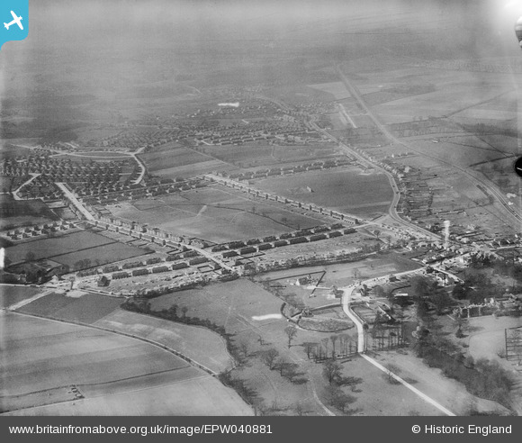
EPW040881 ENGLAND (1933). Construction of the Penhill Park Estate at Harcourt Avenue and environs, Bexley, 1933
© Copyright OpenStreetMap contributors and licensed by the OpenStreetMap Foundation. 2026. Cartography is licensed as CC BY-SA.
Nearby Images (14)
EPW040881

EPW040879

EPW040885

EPW040883

EPW040878

EPW044365

EPW044364

EPW040887

EPW040876

EPW044367

EPW044363

EPW044368

EPW038439

EPW044366

Details
| Title | [EPW040881] Construction of the Penhill Park Estate at Harcourt Avenue and environs, Bexley, 1933 |
| Reference | EPW040881 |
| Date | March-1933 |
| Link | |
| Place name | BEXLEY |
| Parish | |
| District | |
| Country | ENGLAND |
| Easting / Northing | 546955, 174056 |
| Longitude / Latitude | 0.11492609846952, 51.44591015358 |
| National Grid Reference | TQ470741 |
Pins

Barney |
Wednesday 4th of September 2019 06:50:47 AM | |
|
Barney |
Saturday 19th of August 2017 01:03:00 PM | |
|
Barney |
Saturday 19th of August 2017 12:59:04 PM | |
|
Barney |
Saturday 19th of August 2017 12:58:04 PM | |
|
Barney |
Saturday 19th of August 2017 12:57:19 PM | |

Gilarchaeology |
Tuesday 25th of June 2013 12:58:24 PM | |
|
Gilarchaeology |
Tuesday 25th of June 2013 12:57:55 PM | |
The river shuttle does not run through this park. Check map for my annotation of correct location. |
Barney |
Saturday 19th of August 2017 12:56:08 PM |
|
Gilarchaeology |
Tuesday 25th of June 2013 12:56:46 PM |
