
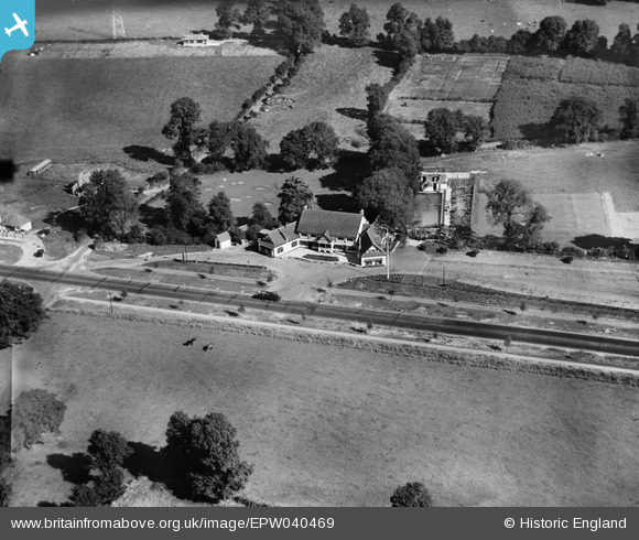
EPW040469 ENGLAND (1932). The Spider's Web Road House, Bushey, 1932
© Copyright OpenStreetMap contributors and licensed by the OpenStreetMap Foundation. 2026. Cartography is licensed as CC BY-SA.
Nearby Images (15)
EPW040469

EAW020712
, Bushey, from the south-west, 1948")
EAW053199

EAW020708
, Bushey, from the south-west, 1948")
EAW053200

EPW040468

EAW020710
, Bushey, 1948")
EAW029479

EAW020711
, Bushey, from the south-west, 1948")
EAW020716
, Bushey, from the south-west, 1948")
EAW020709
, Bushey, 1948")
EAW020713
, Bushey, 1948")
EAW020717
, Bushey, 1948")
EAW020715
, Bushey, 1948")
EAW020714
, Bushey, 1948")
Details
| Title | [EPW040469] The Spider's Web Road House, Bushey, 1932 |
| Reference | EPW040469 |
| Date | September-1932 |
| Link | |
| Place name | BUSHEY |
| Parish | |
| District | |
| Country | ENGLAND |
| Easting / Northing | 514242, 196728 |
| Longitude / Latitude | -0.34826302592598, 51.657248063461 |
| National Grid Reference | TQ142967 |
Pins

Maurice |
Tuesday 24th of September 2013 07:42:03 AM | |
|
Maurice |
Tuesday 24th of September 2013 07:40:41 AM | |
The concrete sections were cast with a gap between them, this was filled with tar so as they could expand in hot weather. |

John Wass |
Tuesday 6th of January 2015 08:26:51 PM |
User Comment Contributions
It appears the hotel was destroyed by fire circa 1970. A new motel stands on the site [or nearby]: www.bbc.co.uk/history/domesday/dblock/GB-512000-195000/page/6 |
MB |
Tuesday 24th of September 2013 12:15:22 AM |
An elderly local resident has been telling me that, during his teens, The Spider's web was notorious as a haunt for the criminal classes of London; who would drive up the new A-road to enjoy the facilities of the road-house. |
Katy Whitaker |
Monday 23rd of September 2013 11:05:30 PM |