
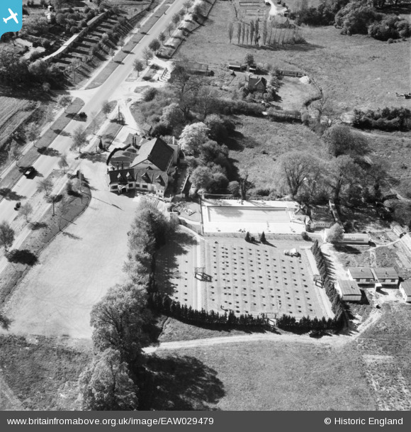
EAW029479 ENGLAND (1950). The Spider's Web Road House, Bushey, 1950
© Copyright OpenStreetMap contributors and licensed by the OpenStreetMap Foundation. 2026. Cartography is licensed as CC BY-SA.
Nearby Images (15)
EAW029479

EPW040468

EAW053199

EAW053200

EPW040469

EAW020710
, Bushey, 1948")
EAW020712
, Bushey, from the south-west, 1948")
EAW020708
, Bushey, from the south-west, 1948")
EAW020713
, Bushey, 1948")
EAW020709
, Bushey, 1948")
EAW020717
, Bushey, 1948")
EAW020715
, Bushey, 1948")
EAW020714
, Bushey, 1948")
EAW020711
, Bushey, from the south-west, 1948")
EAW020716
, Bushey, from the south-west, 1948")
Details
| Title | [EAW029479] The Spider's Web Road House, Bushey, 1950 |
| Reference | EAW029479 |
| Date | 12-May-1950 |
| Link | |
| Place name | BUSHEY |
| Parish | |
| District | |
| Country | ENGLAND |
| Easting / Northing | 514286, 196747 |
| Longitude / Latitude | -0.34762093624184, 51.657409898884 |
| National Grid Reference | TQ143967 |
Pins

mike.f |
Tuesday 18th of February 2014 03:44:33 PM |