
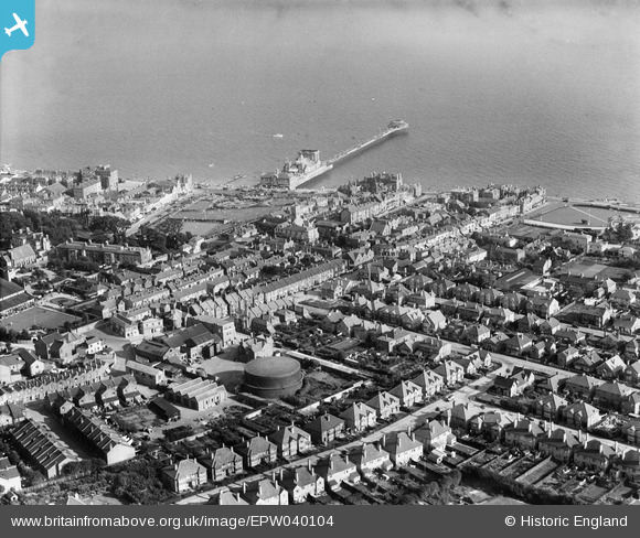
EPW040104 ENGLAND (1932). The town and pier, Bognor Regis, 1932
© Copyright OpenStreetMap contributors and licensed by the OpenStreetMap Foundation. 2026. Cartography is licensed as CC BY-SA.
Nearby Images (8)
EPW040104

EPW000760

EPW016907

EPW040107

EPW040095

EPW040096

EPW016854

EPW040097

Details
| Title | [EPW040104] The town and pier, Bognor Regis, 1932 |
| Reference | EPW040104 |
| Date | August-1932 |
| Link | |
| Place name | BOGNOR REGIS |
| Parish | BOGNOR REGIS |
| District | |
| Country | ENGLAND |
| Easting / Northing | 493267, 98974 |
| Longitude / Latitude | -0.67686674531473, 50.782264700901 |
| National Grid Reference | SZ933990 |

