
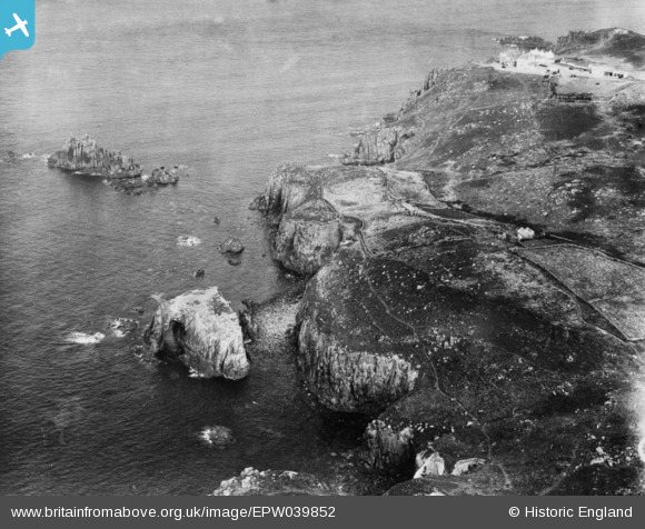
EPW039852 ENGLAND (1932). Carn Greeb, Land's End, 1932. This image has been produced from a copy-negative.
© Copyright OpenStreetMap contributors and licensed by the OpenStreetMap Foundation. 2026. Cartography is licensed as CC BY-SA.
Nearby Images (2)
EPW039852

EAW004876

Details
| Title | [EPW039852] Carn Greeb, Land's End, 1932. This image has been produced from a copy-negative. |
| Reference | EPW039852 |
| Date | August-1932 |
| Link | |
| Place name | LAND'S END |
| Parish | SENNEN |
| District | |
| Country | ENGLAND |
| Easting / Northing | 134395, 24603 |
| Longitude / Latitude | -5.7116411040615, 50.061498535458 |
| National Grid Reference | SW344246 |
Pins
Be the first to add a comment to this image!