
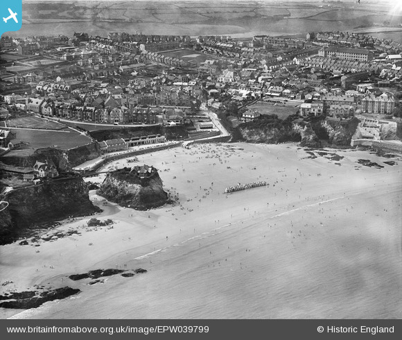
EPW039799 ENGLAND (1932). The Island and Towan Sands, Newquay, 1932
© Copyright OpenStreetMap contributors and licensed by the OpenStreetMap Foundation. 2026. Cartography is licensed as CC BY-SA.
Nearby Images (6)
EPW039799

EAW031038

EAW031037

EPW021697

EPW021693

EPW021696

Details
| Title | [EPW039799] The Island and Towan Sands, Newquay, 1932 |
| Reference | EPW039799 |
| Date | August-1932 |
| Link | |
| Place name | NEWQUAY |
| Parish | NEWQUAY |
| District | |
| Country | ENGLAND |
| Easting / Northing | 180979, 61841 |
| Longitude / Latitude | -5.0832765489948, 50.414933231223 |
| National Grid Reference | SW810618 |
Pins
Be the first to add a comment to this image!