
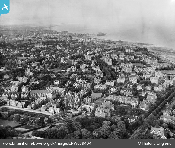
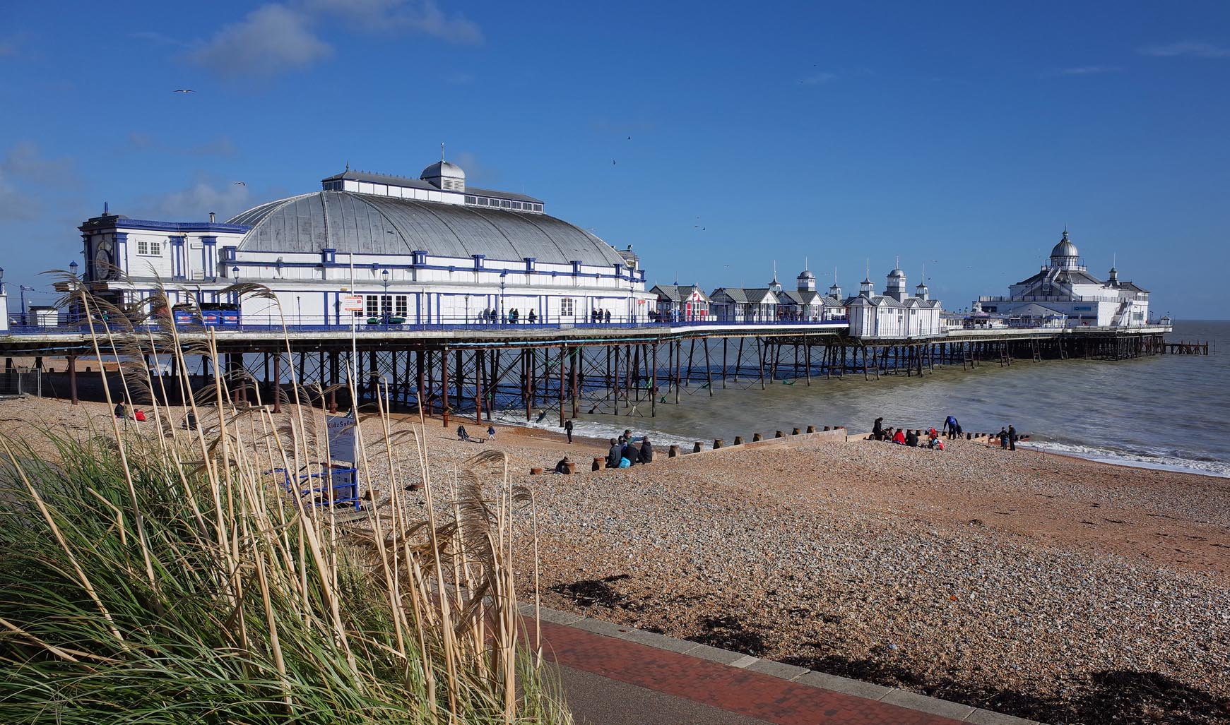
EPW039404 ENGLAND (1932). Meads and the seafront, Eastbourne, from the south-west, 1932
© Copyright OpenStreetMap contributors and licensed by the OpenStreetMap Foundation. 2026. Cartography is licensed as CC BY-SA.
Nearby Images (2)
EPW039404

EPW000071

Details
| Title | [EPW039404] Meads and the seafront, Eastbourne, from the south-west, 1932 |
| Reference | EPW039404 |
| Date | August-1932 |
| Link | |
| Place name | EASTBOURNE |
| Parish | |
| District | |
| Country | ENGLAND |
| Easting / Northing | 560072, 97580 |
| Longitude / Latitude | 0.26962821350323, 50.7551442766 |
| National Grid Reference | TV601976 |
Pins

Paul C |
Tuesday 28th of July 2026 01:54:02 PM | |
|
Paul C |
Tuesday 20th of January 2026 08:49:40 AM | |
|
HighEye |
Friday 26th of September 2025 03:54:44 PM | |
|
HighEye |
Friday 26th of September 2025 03:50:42 PM | |
|
HighEye |
Friday 26th of September 2025 03:49:30 PM | |
 |
jfphillips62 |
Sunday 12th of February 2017 07:42:00 AM |

Alan McFaden |
Sunday 9th of November 2014 03:03:59 PM | |
|
Alan McFaden |
Sunday 9th of November 2014 03:02:58 PM | |
|
Alan McFaden |
Sunday 9th of November 2014 02:59:44 PM | |
|
Mikeo1938 |
Friday 10th of October 2014 10:50:18 PM | |
|
Mikeo1938 |
Monday 6th of October 2014 04:27:26 PM | |
|
Mikeo1938 |
Tuesday 11th of December 2012 10:43:17 PM | |
|
Mikeo1938 |
Tuesday 11th of December 2012 10:40:41 PM | |
|
Mikeo1938 |
Tuesday 11th of December 2012 10:38:13 PM |


User Comment Contributions
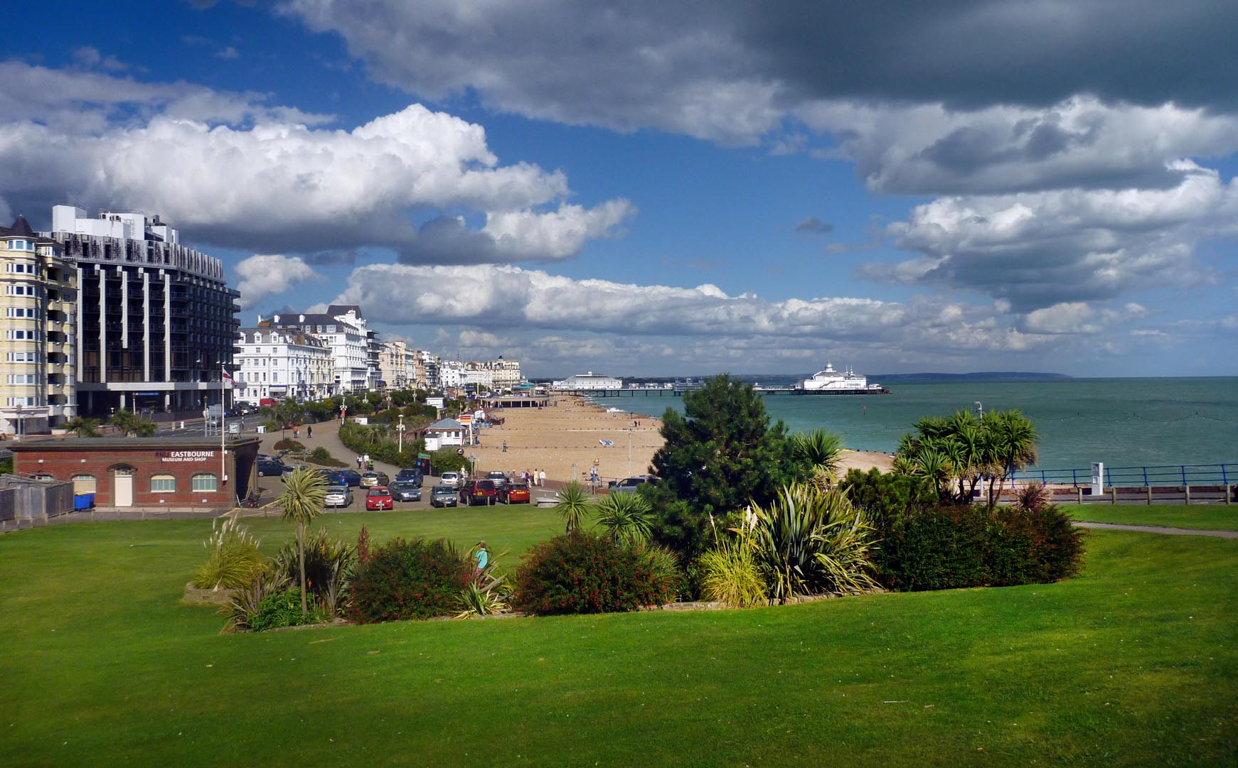
Eastbourne from the Wish Tower |
Alan McFaden |
Sunday 9th of November 2014 03:04:42 PM |
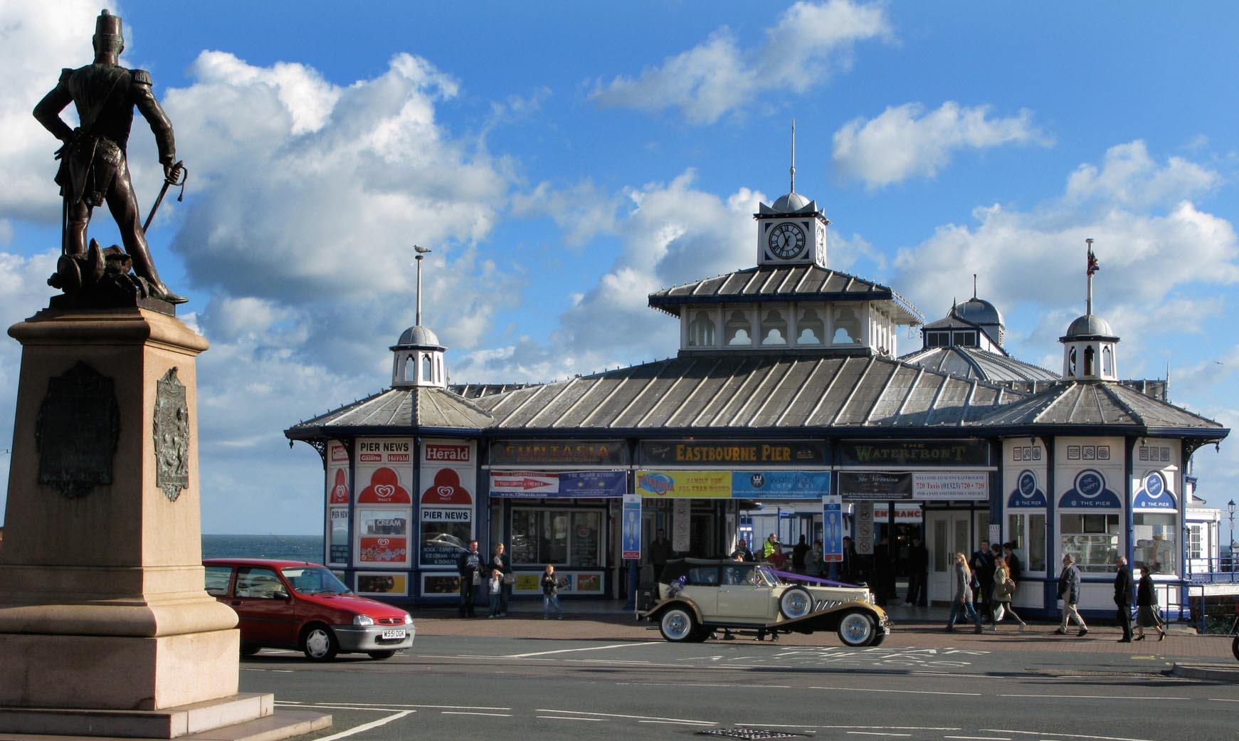
Eastbourne Pier |
Alan McFaden |
Sunday 9th of November 2014 03:01:14 PM |
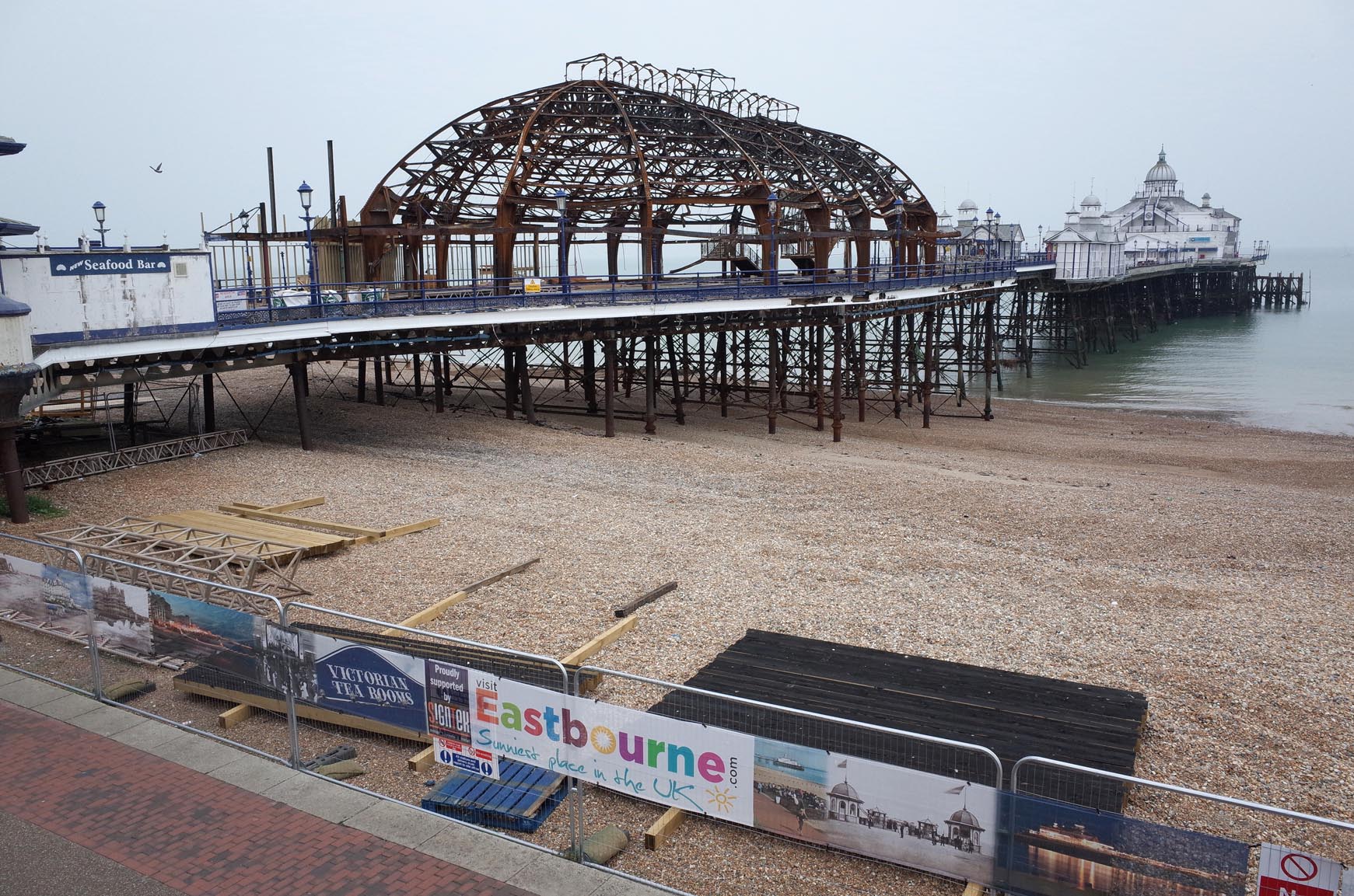
Eastbourne Pier Fire Damage 2014 |
Alan McFaden |
Sunday 9th of November 2014 03:00:50 PM |
Eastbourne Pier |
Alan McFaden |
Sunday 9th of November 2014 03:00:17 PM |