
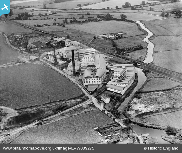
EPW039275 ENGLAND (1932). Fison Packard & Prentice Works, Bramford, 1932
© Copyright OpenStreetMap contributors and licensed by the OpenStreetMap Foundation. 2025. Cartography is licensed as CC BY-SA.
Nearby Images (9)
EPW039275

EPW039273

EPW039272

EPW039274

EPW005247

EPW005246

EPW039269

EPW005245

EPW005244

Details
| Title | [EPW039275] Fison Packard & Prentice Works, Bramford, 1932 |
| Reference | EPW039275 |
| Date | July-1932 |
| Link | |
| Place name | BRAMFORD |
| Parish | BRAMFORD |
| District | |
| Country | ENGLAND |
| Easting / Northing | 612628, 247975 |
| Longitude / Latitude | 1.1040648333355, 52.088793911354 |
| National Grid Reference | TM126480 |
Pins

John W |
Saturday 21st of January 2017 04:19:31 PM |