
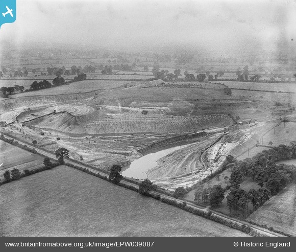
EPW039087 ENGLAND (1932). Spiers's Farm and quarry belonging to the Southam Cement Works, Stockton, from the south-east, 1932
© Copyright OpenStreetMap contributors and licensed by the OpenStreetMap Foundation. 2026. Cartography is licensed as CC BY-SA.
Nearby Images (5)
EPW039087

EPW039089

EPW039079

EPW039088

EPW039084

Details
| Title | [EPW039087] Spiers's Farm and quarry belonging to the Southam Cement Works, Stockton, from the south-east, 1932 |
| Reference | EPW039087 |
| Date | July-1932 |
| Link | |
| Place name | STOCKTON |
| Parish | STOCKTON |
| District | |
| Country | ENGLAND |
| Easting / Northing | 442356, 263358 |
| Longitude / Latitude | -1.3792670453487, 52.26635459214 |
| National Grid Reference | SP424634 |
Pins
Be the first to add a comment to this image!