
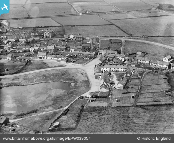
EPW039054 ENGLAND (1932). Mereside and environs, Flamborough, 1932
© Copyright OpenStreetMap contributors and licensed by the OpenStreetMap Foundation. 2025. Cartography is licensed as CC BY-SA.
Nearby Images (4)
EPW039054

EPW023153

EPW023152

EPW039053

Details
| Title | [EPW039054] Mereside and environs, Flamborough, 1932 |
| Reference | EPW039054 |
| Date | July-1932 |
| Link | |
| Place name | FLAMBOROUGH |
| Parish | FLAMBOROUGH |
| District | |
| Country | ENGLAND |
| Easting / Northing | 522844, 470753 |
| Longitude / Latitude | -0.12034114571225, 54.117772811487 |
| National Grid Reference | TA228708 |
Pins
Be the first to add a comment to this image!