
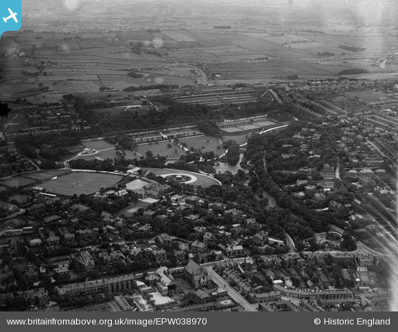
EPW038970 ENGLAND (1932). Corporation Park and environs, Blackburn, 1932
© Copyright OpenStreetMap contributors and licensed by the OpenStreetMap Foundation. 2026. Cartography is licensed as CC BY-SA.
Nearby Images (4)
EPW038970

EPW038971

EPW038968

EPW038969

Details
| Title | [EPW038970] Corporation Park and environs, Blackburn, 1932 |
| Reference | EPW038970 |
| Date | July-1932 |
| Link | |
| Place name | BLACKBURN |
| Parish | |
| District | |
| Country | ENGLAND |
| Easting / Northing | 367451, 428930 |
| Longitude / Latitude | -2.4937168439335, 53.755494898501 |
| National Grid Reference | SD675289 |
Pins
Be the first to add a comment to this image!