
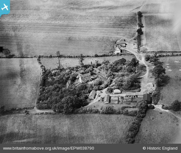
EPW038790 ENGLAND (1932). Coldhams Farm, Rickling, 1932
© Copyright OpenStreetMap contributors and licensed by the OpenStreetMap Foundation. 2025. Cartography is licensed as CC BY-SA.
Nearby Images (4)
EPW038790

EPW038792

EPW038791

EPW038789

Details
| Title | [EPW038790] Coldhams Farm, Rickling, 1932 |
| Reference | EPW038790 |
| Date | June-1932 |
| Link | |
| Place name | RICKLING |
| Parish | CLAVERING |
| District | |
| Country | ENGLAND |
| Easting / Northing | 549321, 231998 |
| Longitude / Latitude | 0.17377354102355, 51.965945729422 |
| National Grid Reference | TL493320 |
Pins

Lorraine |
Monday 28th of November 2022 11:18:47 AM |