
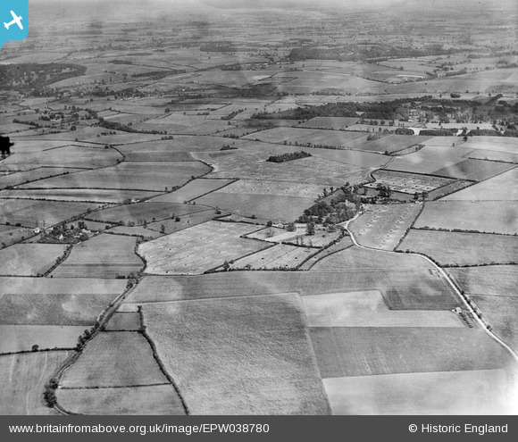
EPW038780 ENGLAND (1932). Rickling and Coldhams Farm, Rickling, from the west, 1932
© Copyright OpenStreetMap contributors and licensed by the OpenStreetMap Foundation. 2025. Cartography is licensed as CC BY-SA.
Nearby Images (5)
EPW038780

EPW038773

EPW038775

EPW038782

EPW038770

Details
| Title | [EPW038780] Rickling and Coldhams Farm, Rickling, from the west, 1932 |
| Reference | EPW038780 |
| Date | June-1932 |
| Link | |
| Place name | RICKLING |
| Parish | QUENDON AND RICKLING |
| District | |
| Country | ENGLAND |
| Easting / Northing | 549224, 231474 |
| Longitude / Latitude | 0.17213483210005, 51.961263466651 |
| National Grid Reference | TL492315 |
Pins
Be the first to add a comment to this image!