
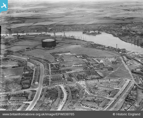
EPW038765 ENGLAND (1932). Windhill Road Gasometer and surrounding industry on the River Tyne, St Anthony's, 1932
© Copyright OpenStreetMap contributors and licensed by the OpenStreetMap Foundation. 2025. Cartography is licensed as CC BY-SA.
Nearby Images (5)
EPW038765

EPW038766

EPW038769

EPW038763

EPW038764

Details
| Title | [EPW038765] Windhill Road Gasometer and surrounding industry on the River Tyne, St Anthony's, 1932 |
| Reference | EPW038765 |
| Date | June-1932 |
| Link | |
| Place name | ST ANTHONY'S |
| Parish | |
| District | |
| Country | ENGLAND |
| Easting / Northing | 428917, 563330 |
| Longitude / Latitude | -1.5483121864536, 54.963683053408 |
| National Grid Reference | NZ289633 |
Pins

andrea |
Friday 7th of August 2015 10:25:11 PM | |
|
andrea |
Friday 7th of August 2015 10:23:29 PM | |
|
andrea |
Friday 7th of August 2015 10:21:22 PM | |
|
andrea |
Friday 7th of August 2015 10:19:41 PM |