
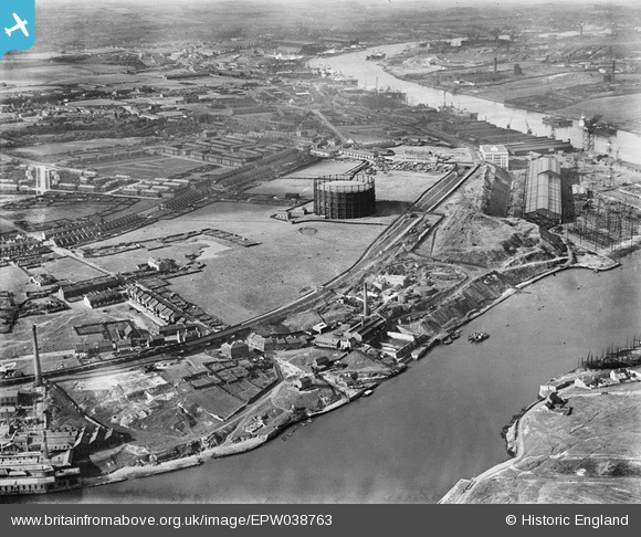
EPW038763 ENGLAND (1932). Windhill Road Gasometer and surrounding industry on the River Tyne, St Anthony's, 1932
© Copyright OpenStreetMap contributors and licensed by the OpenStreetMap Foundation. 2025. Cartography is licensed as CC BY-SA.
Nearby Images (6)
EPW038763

EPW038766

EPW038769

EPW038765

EPW038764

EPW038767

Details
| Title | [EPW038763] Windhill Road Gasometer and surrounding industry on the River Tyne, St Anthony's, 1932 |
| Reference | EPW038763 |
| Date | June-1932 |
| Link | |
| Place name | ST ANTHONY'S |
| Parish | |
| District | |
| Country | ENGLAND |
| Easting / Northing | 429038, 563291 |
| Longitude / Latitude | -1.5464261629832, 54.963325526717 |
| National Grid Reference | NZ290633 |
