
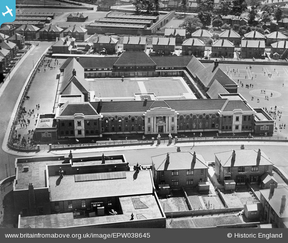
EPW038645 ENGLAND (1932). Bennetthorpe School on Danum Road, Doncaster, 1932
© Copyright OpenStreetMap contributors and licensed by the OpenStreetMap Foundation. 2026. Cartography is licensed as CC BY-SA.
Nearby Images (6)
EPW038645

EPW038648

EPW038647

EPW038643

EPW038649

EPW038660

Details
| Title | [EPW038645] Bennetthorpe School on Danum Road, Doncaster, 1932 |
| Reference | EPW038645 |
| Date | June-1932 |
| Link | |
| Place name | DONCASTER |
| Parish | |
| District | |
| Country | ENGLAND |
| Easting / Northing | 458773, 402737 |
| Longitude / Latitude | -1.1134974099163, 53.517769616161 |
| National Grid Reference | SE588027 |
