
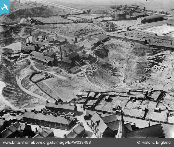
EPW038498 ENGLAND (1932). The Brownhills Tileries and environs, Tunstall, 1932
© Copyright OpenStreetMap contributors and licensed by the OpenStreetMap Foundation. 2026. Cartography is licensed as CC BY-SA.
Nearby Images (6)
EPW038498

EPW038499

EPW038502

EPW038497

EPW038500

EPW038501

Details
| Title | [EPW038498] The Brownhills Tileries and environs, Tunstall, 1932 |
| Reference | EPW038498 |
| Date | June-1932 |
| Link | |
| Place name | TUNSTALL |
| Parish | |
| District | |
| Country | ENGLAND |
| Easting / Northing | 385709, 350776 |
| Longitude / Latitude | -2.2132332483193, 53.053746935956 |
| National Grid Reference | SJ857508 |
Pins
Be the first to add a comment to this image!