
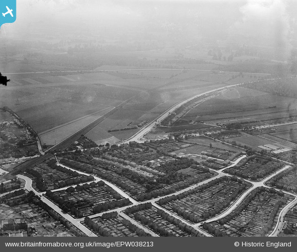
EPW038213 ENGLAND (1932). Tidford Road and construction of new housing around Welling Way and environs, Welling, from the north-east, 1932
© Copyright OpenStreetMap contributors and licensed by the OpenStreetMap Foundation. 2026. Cartography is licensed as CC BY-SA.
Nearby Images (5)
EPW038213

EPW038188

EPW038423

EPW038208

EPW038186

Details
| Title | [EPW038213] Tidford Road and construction of new housing around Welling Way and environs, Welling, from the north-east, 1932 |
| Reference | EPW038213 |
| Date | June-1932 |
| Link | |
| Place name | WELLING |
| Parish | |
| District | |
| Country | ENGLAND |
| Easting / Northing | 545736, 176184 |
| Longitude / Latitude | 0.098272323219851, 51.465348564188 |
| National Grid Reference | TQ457762 |
Pins

Steve Camp |
Tuesday 10th of September 2019 12:11:26 PM |