
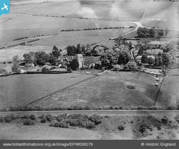
EPW038179 ENGLAND (1932). St Giles's Church and the village, Kingston, 1932
© Copyright OpenStreetMap contributors and licensed by the OpenStreetMap Foundation. 2025. Cartography is licensed as CC BY-SA.
Nearby Images (3)
EPW038179

EPW038181

EPW038180

Details
| Title | [EPW038179] St Giles's Church and the village, Kingston, 1932 |
| Reference | EPW038179 |
| Date | May-1932 |
| Link | |
| Place name | KINGSTON |
| Parish | KINGSTON |
| District | |
| Country | ENGLAND |
| Easting / Northing | 619806, 151248 |
| Longitude / Latitude | 1.1478776805644, 51.217533480918 |
| National Grid Reference | TR198512 |
Pins
Be the first to add a comment to this image!