
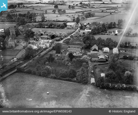
EPW038143 ENGLAND (1932). Town House and the village, Madley, 1932
© Copyright OpenStreetMap contributors and licensed by the OpenStreetMap Foundation. 2025. Cartography is licensed as CC BY-SA.
Nearby Images (3)
EPW038143

EPW038144

EPW038142

Details
| Title | [EPW038143] Town House and the village, Madley, 1932 |
| Reference | EPW038143 |
| Date | May-1932 |
| Link | |
| Place name | MADLEY |
| Parish | MADLEY |
| District | |
| Country | ENGLAND |
| Easting / Northing | 342118, 238794 |
| Longitude / Latitude | -2.8440577252082, 52.044096140244 |
| National Grid Reference | SO421388 |
Pins
Be the first to add a comment to this image!