
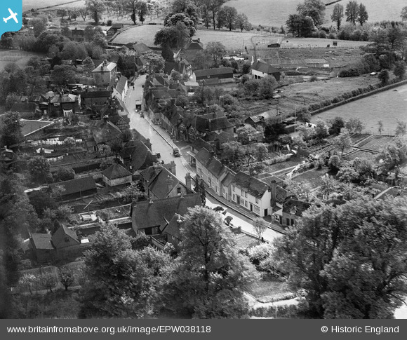
EPW038118 ENGLAND (1932). The village, Eyhorne Street, 1932
© Copyright OpenStreetMap contributors and licensed by the OpenStreetMap Foundation. 2025. Cartography is licensed as CC BY-SA.
Nearby Images (3)
EPW038118

EPW038115

EPW038117

Details
| Title | [EPW038118] The village, Eyhorne Street, 1932 |
| Reference | EPW038118 |
| Date | May-1932 |
| Link | |
| Place name | EYHORNE STREET |
| Parish | HOLLINGBOURNE |
| District | |
| Country | ENGLAND |
| Easting / Northing | 583295, 154659 |
| Longitude / Latitude | 0.62739158683867, 51.261067554086 |
| National Grid Reference | TQ833547 |
Pins
Be the first to add a comment to this image!