
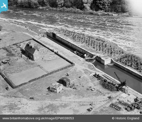
EPW038053 ENGLAND (1932). Gunthorpe Lock, Gunthorpe, 1932
© Copyright OpenStreetMap contributors and licensed by the OpenStreetMap Foundation. 2025. Cartography is licensed as CC BY-SA.
Nearby Images (3)
EPW038053

EPW038055

EPW038054

Details
| Title | [EPW038053] Gunthorpe Lock, Gunthorpe, 1932 |
| Reference | EPW038053 |
| Date | May-1932 |
| Link | |
| Place name | GUNTHORPE |
| Parish | GUNTHORPE |
| District | |
| Country | ENGLAND |
| Easting / Northing | 468774, 343768 |
| Longitude / Latitude | -0.97541596263449, 52.986520293851 |
| National Grid Reference | SK688438 |
Pins
Be the first to add a comment to this image!