
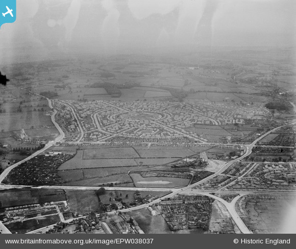
EPW038037 ENGLAND (1932). The new housing estate, Aspley, from the south-east, 1932
© Copyright OpenStreetMap contributors and licensed by the OpenStreetMap Foundation. 2026. Cartography is licensed as CC BY-SA.
Nearby Images (4)
EPW038037

EPW043608

EPW043938

EPW038031

Details
| Title | [EPW038037] The new housing estate, Aspley, from the south-east, 1932 |
| Reference | EPW038037 |
| Date | May-1932 |
| Link | |
| Place name | ASPLEY |
| Parish | |
| District | |
| Country | ENGLAND |
| Easting / Northing | 454569, 342023 |
| Longitude / Latitude | -1.1873078899082, 52.972469059016 |
| National Grid Reference | SK546420 |
Pins

Dave |
Monday 2nd of February 2015 08:56:28 PM |