
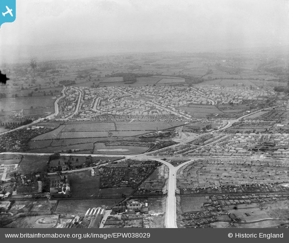
EPW038029 ENGLAND (1932). The new housing estate, Aspley, from the south-east, 1932
© Copyright OpenStreetMap contributors and licensed by the OpenStreetMap Foundation. 2026. Cartography is licensed as CC BY-SA.
Nearby Images (5)
EPW038029

EPW043938

EPW043611

EPW043608

EPW038031

Details
| Title | [EPW038029] The new housing estate, Aspley, from the south-east, 1932 |
| Reference | EPW038029 |
| Date | May-1932 |
| Link | |
| Place name | ASPLEY |
| Parish | |
| District | |
| Country | ENGLAND |
| Easting / Northing | 454860, 342006 |
| Longitude / Latitude | -1.1829774103459, 52.972286537075 |
| National Grid Reference | SK549420 |
