
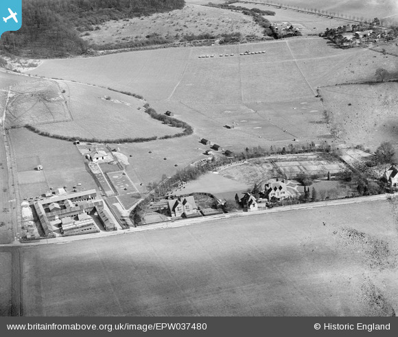
EPW037480 ENGLAND. Fiddle Hill and The Poultry Pathological Research Laboratories, Goring, 1932
© Copyright OpenStreetMap contributors and licensed by the OpenStreetMap Foundation. 2026. Cartography is licensed as CC BY-SA.
Nearby Images (9)
EPW037480

EPW037478

EPW037479

EPW037477

EPW037473

EPW037475

EPW037474

EPW037476

EPW037472

Details
| Title | [EPW037480] Fiddle Hill and The Poultry Pathological Research Laboratories, Goring, 1932 |
| Reference | EPW037480 |
| Date | |
| Link | |
| Place name | GORING |
| Parish | GORING |
| District | |
| Country | ENGLAND |
| Easting / Northing | 461135, 181963 |
| Longitude / Latitude | -1.1185290325446, 51.532780037729 |
| National Grid Reference | SU611820 |
Pins

Class31 |
Thursday 13th of December 2012 12:37:34 PM | |
Thanks for putting the pin in, we'll sort this one out along with the other frames of the Institute! Yours, Katy Britain from Above Cataloguing Team Leader |
Katy Whitaker |
Wednesday 2nd of January 2013 03:36:19 PM |
|
Class31 |
Thursday 13th of December 2012 12:34:19 PM | |
|
Class31 |
Thursday 13th of December 2012 12:30:10 PM |